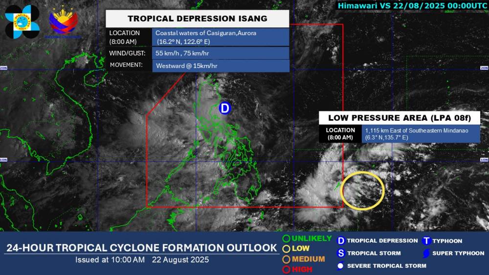
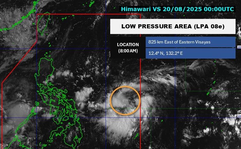
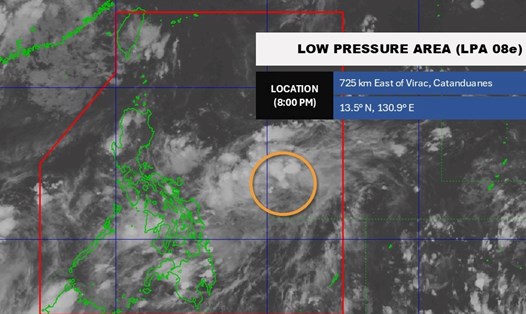
According to the latest weather forecast from the Philippine Atmospheric, Geophysical and Astronomical Services Administration (PAGASA), a low pressure has strengthened into a tropical depression near the East Sea. The tropical depression is named ISANG by the Philippines.
As of 8:00 a.m. on August 22 (local time), the center of the tropical depression was at about 16.2 degrees North latitude - 122.6 degrees East longitude, in the coastal areas of Casiguran, Aurora.
The strongest wind near the center of the tropical depression reached 55 km/h, gusting up to 75 km/h. The tropical depression is moving westward at a speed of about 15 km/h.
The tropical depression is forecast to develop into storm No. 5 when it enters the East Sea on the morning of August 24.

According to the National Center for Hydro-Meteorological Forecasting, by 7:00 a.m. on August 23, the tropical depression moved in a West-Northwest direction at a speed of about 15 km/h and continued to strengthen. The center of the tropical depression is located at about 18.0 degrees North latitude - 118.2 degrees East longitude, in the eastern sea of the North East Sea; 730km East Northeast of Hoang Sa Special Zone.
The strongest wind in the storm center is level 7, gusting to level 9. Natural disaster risk level: level 3 for the eastern part of the North East Sea.
By 7:00 a.m. on August 24, the tropical depression will move westward at a speed of about 15-20 km/h, likely to strengthen into storm No. 5. The center of the storm is located at about 18.1 degrees North latitude - 114.4 degrees East longitude, in the North East Sea, 290km northeast of Hoang Sa Special Zone.
The strongest wind near the storm center is level 8, gusting to level 11. Natural disaster risk level: level 3 for the North East Sea area (including Hoang Sa special zone).
Due to the influence of the tropical depression, the eastern sea of the North East Sea will have showers and thunderstorms, strong winds of level 6-7, then increase to level 8, gusting to level 10. Waves are 3.0-5.0m high, very rough seas.
Meanwhile, another low pressure area was detected outside the Philippines' responsibility area. The center of the low pressure is located at about 6.3 degrees North latitude - 135.7 degrees East longitude, about 1,115 km East Southeast of Mindanao.
The low pressure is forecast to have little chance of developing into a tropical depression in the next 24 hours.
People and tourists planning to visit areas where the tropical depression passes should pay attention to weather forecasts. Check flight schedules and follow local instructions to avoid impactful storms.


