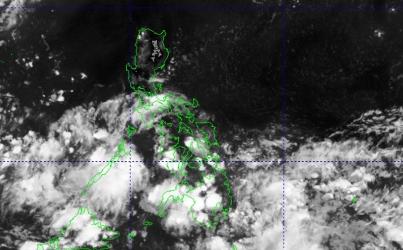
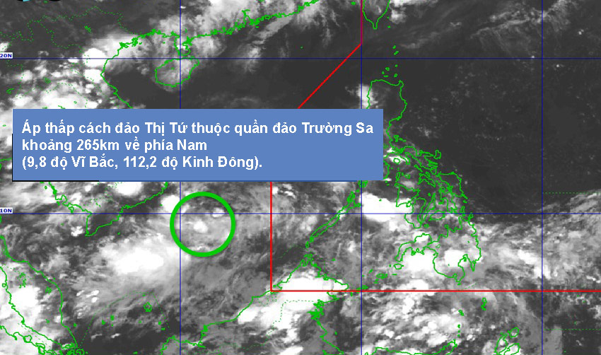
According to the latest weather forecast from the Philippine Atmospheric, Geophysical and Astronomical Services Administration (PAGASA), the low pressure area (LPA 5c) is being monitored outside the Philippine Area of Responsibility (PAR).
As of 8:00 p.m. on May 20, 2025 (local time), the low pressure is about 265 km south of Thi Tu island in Truong Sa archipelago (9.8 degrees North latitude, 112.2 degrees East longitude).
The Philippine Meteorological Agency assessed the possibility of the low pressure area developing into a tropical depression in the next 24 hours as low.
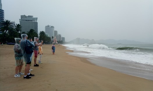
According to the National Center for Hydro-Meteorological Forecasting, the forecast for sea weather on the night of May 20 and May 21, in the North and South Gulf of Tonkin, the weather is generally stable with showers and thunderstorms only appearing in a few places. Over 10km longitude, southern winds remain at level 4-5, waves from 1.5 to 2.5m high.
The sea area from Quang Tri to Quang Ngai will have scattered showers and thunderstorms. The wind blows from the southeast to the south at level 3-4, with waves ranging from 0.5 to 1.5m high, with a long view of over 10km.
The sea area from Binh Dinh to Ninh Thuan also has showers and thunderstorms in some places. Light wind, waves from 0.5 to 1.5m high, long-range visibility reaches over 10km.
In the area from Binh Thuan to Ca Mau, the weather will be more complicated with scattered showers and thunderstorms, with the risk of tornadoes and strong gusts of wind during thunderstorms. The view is over 10km away, reduced to 4-10km when it rains. Light wind, waves from 0.5 to 1.5m high.
The area from Ca Mau to Kien Giang continues to record scattered showers and thunderstorms. During thunderstorms, tornadoes and strong gusts of wind may occur. The view from afar decreased to 4-10km in rain, light wind, waves from 0.5 to 1.0m high.
In the North East Sea, the weather is relatively stable with scattered showers and thunderstorms. Southeast to south wind level 3-4, waves from 0.5 to 1.5m high, long-term vision over 10km.
The Hoang Sa archipelago has no rain, southeast to south winds at level 3-4, a long view of over 10km, calm sea with waves from 0.5 to 1.5m high.
The central East Sea area, especially in the south, will have scattered showers and thunderstorms in some places. During thunderstorms, beware of tornadoes and strong gusts of wind. Southeast wind level 3-4, waves 0.5 - 1.5m high, vision reduced to 4-10km in rain.
In the South China Sea and Truong Sa archipelago, scattered showers and thunderstorms are likely to occur, accompanied by tornadoes and strong gusts of wind. Light wind, long-range visibility from over 10km decreased to 4-10km in rain, waves from 0.5 to 1.5m high.
The Gulf of Thailand also has scattered showers and thunderstorms, with the risk of tornadoes and strong gusts of wind during thunderstorms. Light wind, long-range visibility from over 10km decreased to 4-10km in rain, waves from 0.5 to 1.0m high.
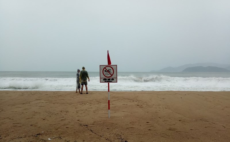
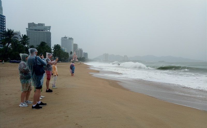
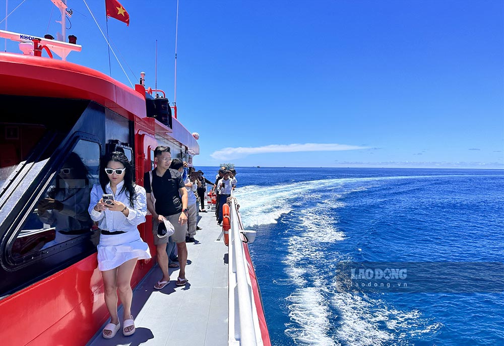
Fishermen need to closely monitor warning bulletins, absolutely do not be subjective when going out to sea, especially in the late afternoon and at night, check safety equipment and communication.
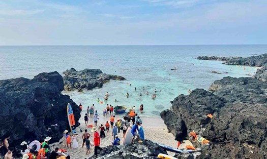
Tourists need to consider when participating in sea tourism activities, avoid traveling by boat during bad weather.