According to the latest weather forecast from the Philippine Atmospheric, Geophysical and Astronomical Services Administration (PAGASA), Typhoon Fung-wong officially formed near the East Sea, outside the Philippine Area of Responsibility (PAR).
As of 10am this morning (local time), the center of the storm was at about 9.7 degrees North latitude - 140.9 degrees East longitude, about 1,690km east of Northeast Mindanao.
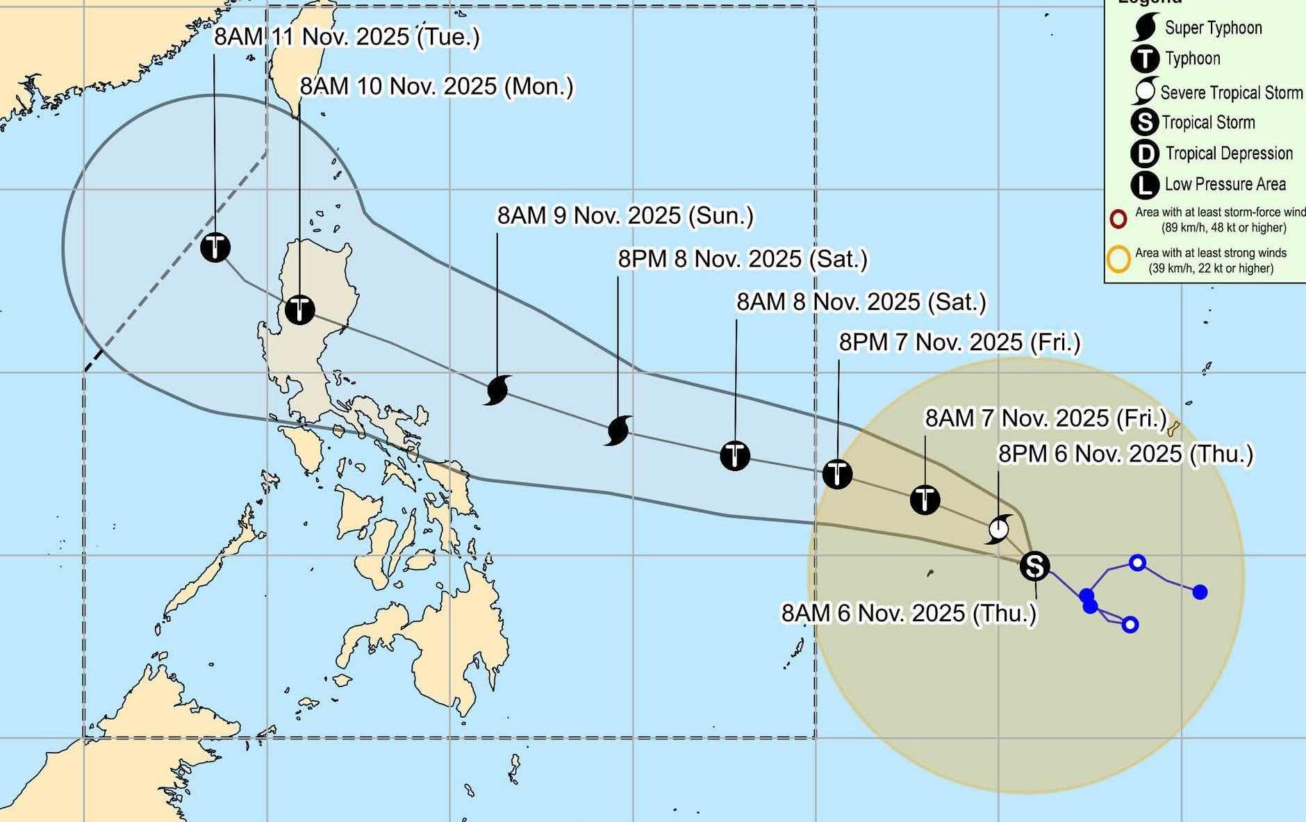
The strongest wind near the center of the storm reached 75km/h, gusting up to 90km/h. The storm moved slowly northwest at a speed of 10km/h, towards the East Sea. If it enters the East Sea, it will be the 14th storm to make landfall in this sea area this year.
Typhoon Fung-wong is forecast to rapidly strengthen. The storm will intensify violently tonight and reach typhoon level from tomorrow, November 7.
Because it is still quite far from the mainland, the storm has not yet affected the mainland of the Philippines.
Meanwhile, storm No. 13 Kalmaegi is approaching the mainland of Vietnam. As of 10am this morning, the center of the storm was at panic 13.1 degrees North latitude - 111.6 degrees East longitude, about 270km East Southeast of Quy Nhon (Gia Lai).
The strongest wind near the storm center is level 15 (167-183km/h), gusting over level 17. In the next 3 hours, the storm will move mainly in a westerly direction, at a speed of about 20-25km/h.
Storm No. 13 caused rough seas and heavy rain in many places on land. The area from Da Nang to Dak Lak will have very heavy rain with common rainfall of 200-400mm/ods, locally over 600mm/ods. The area from South Quang Tri to Hue, Khanh Hoa and Lam Dong will have heavy rain with common rainfall of 150-300mm/ods, locally very heavy rain over 450mm/ods. From November 8, heavy rain in the above areas tends to decrease.
From November 7-8, the North of Quang Tri to Thanh Hoa will have moderate rain, heavy rain with common rainfall of 50-150mm/ods, locally very heavy rain over 200mm/ods.
People and tourists in these areas should pay attention to weather forecasts and proactively respond to storm situations. Avoid going out when not necessary and follow local instructions to ensure safety.


