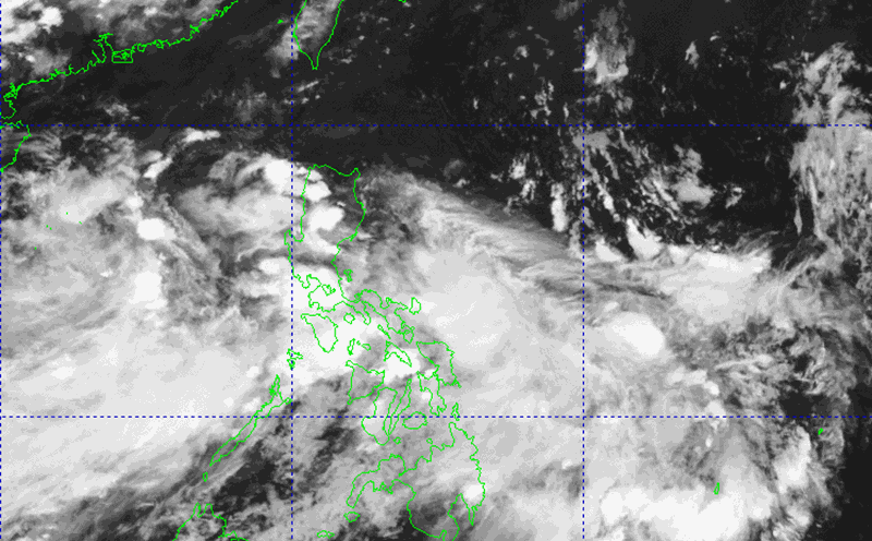
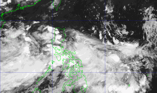
According to the new low pressure information from the National Center for Hydro-Meteorological Forecasting, the low pressure in the North East Sea has strengthened into a tropical depression.
The center of the tropical depression (at 04.00 on June 10, it was about 15.7 degrees North latitude - 115.7 degrees East longitude, about 360km East Southeast of Hoang Sa archipelago.
The strongest wind is level 6 (3949 km/h), gusting to level 8.
The tropical depression moved slowly to the West, at a speed of about 5 km/h.
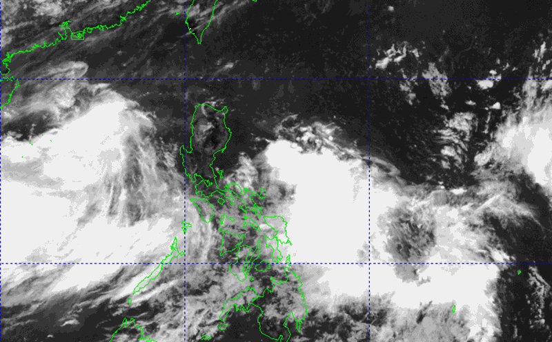
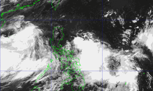
By 04.00 on June 11, the tropical depression will move westward at a speed of about 5km/h and is likely to strengthen. The forecast location is currently at about 15.5 degrees North latitude; 114.4 degrees East longitude, about 240km East Southeast of Hoang Sa archipelago. Strong wind level 6-7, gust level 9.
Dangerous areas in the East Sea in the next 24 hours (powerful winds from level 6 and above, gusting from level 8 and above) are between 13.0 to 18.5 degrees North latitude and from 112.0 to 118.0 degrees East longitude.
The risk of natural disasters due to strong winds at sea is level 3, affecting the North East Sea (including Hoang Sa archipelago) and the northern sea area of the central East Sea.
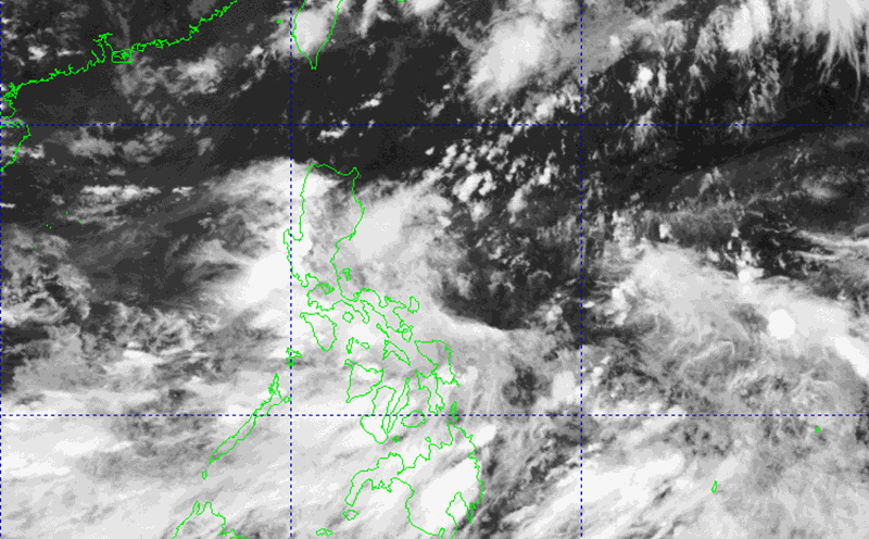
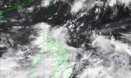
By 04.00 on June 12, the tropical depression is likely to strengthen into a storm, moving in the West Northwest direction at a speed of 1015km/h. The forecast location at this time is in the Hoang Sa archipelago, about 16.3 degrees North latitude; 111.7 degrees East longitude. Strong winds of level 89, gusting to level 11.
The dangerous area in the next 48 hours will expand from 13.5 to 18.5 degrees North latitude and from 109.5 to 117.0 degrees East longitude.
The natural disaster risk level continues to remain at level 3, affecting the North East Sea, the northern sea between the East Sea and the offshore waters from Hue to Quang Ngai.
Warning from 48-72 hours to come the storm is likely to change direction, moving north-northeast at a speed of about 10 km/h and is likely to continue to strengthen.
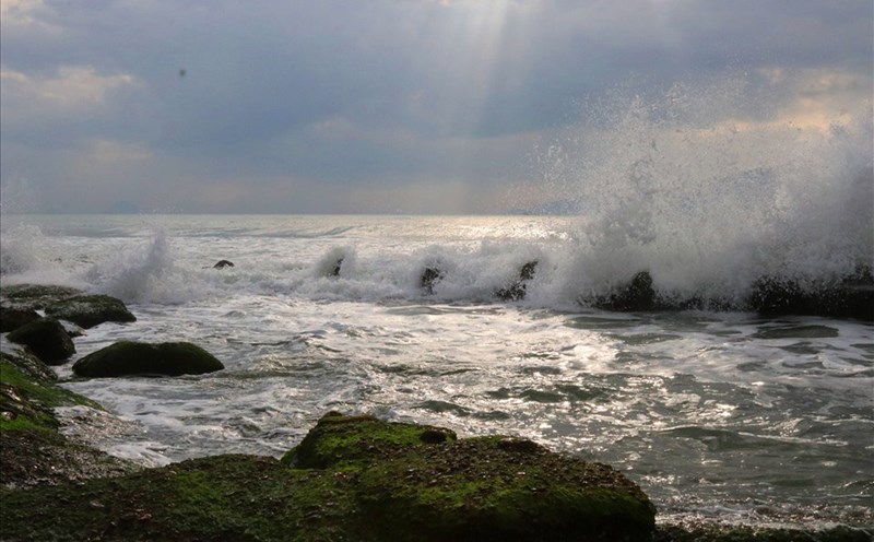
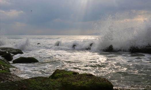
At sea, the North East Sea and the North of the central East Sea will have thunderstorms, strong winds of level 67, gusts of level 9; rough seas, waves 2.04.0m high.
Ships in dangerous areas need to pay attention to the high risk of thunderstorms, tornadoes, strong winds and large waves.
Tourists planning to travel to the islands in the Gulf of Tonkin and the North Central region should proactively update weather forecasts and information from airlines, cruise ships or accommodation establishments, local authorities to ensure safety during their trip.