According to the latest storm information from the Joint Typhoon Warning Center (JTWC), super typhoon Ragasa is moving west at a speed of 22 km/h. Waves are up to 14 m high. This is considered the strongest storm in the world since the beginning of 2025.
JTWC forecasts that Typhoon Ragasa will maintain super typhoon intensity in the next 24 hours.
The storm is expected to pass through the area between Babuyan Islands and Batanes (Northern Philippines), then enter the East Sea, becoming storm No. 9, approaching Hong Kong (China) on the morning of September 24.
The storm is likely to make landfall in southeastern China on September 24 and continue to enter northern Vietnam late on September 25 or early morning of September 26.
In the Philippines, the Department of Atmospheric, Geophysical and Astronomical Services Administration ( pagasa) issued a level 5 (highest level) warning to Babuyan Islands, level 4 to Batanes and some areas north of Luzon.
Pagasa recorded the strongest wind near the center of super typhoon Ragasa reaching 215 km/h, gusting to 295 km/h at around 1:50 p.m. (local time).
The agency warned of a very high risk of coastal rises due to life-threatening storms in Northern Luzon in the next 24 hours.
The center of super typhoon Ragasa is moving very close to Babuyan Island in the Philippines, expected to sweep across or make landfall on the country's Calayan Island at around 2:00 p.m. to 5:00 p.m. on September 22.
The intensity of the super typhoon remains very strong, possibly even intensifying before passing through the Babuyan Islands.
According to the National Center for Hydro-Meteorological Forecasting, in the next 24-72 hours, super typhoon Ragasa will continue to move in the West Northwest direction.
It is forecasted that by 10:00 on September 23, the storm will enter the East Sea, located at 20.4°N - 117.9°E, in the northeastern sea of the North East Sea, maintaining an intensity of level 17, gusting above level 17, the danger zone is located in the north of latitude 18.0°N and east of longitude 115.5°E.
At 10:00 on September 24, super typhoon Ragasa was at about 21.2°N - 113.2°E, in the northern sea area of the North East Sea, about 290km east of the Lusi Peninsula (China), with a drop in intensity of level 16, gusting above level 17.
By 10:00 on September 25, the storm changed direction to West Southwest, moving about 20 km/h and gradually weakening, located at 20.8°N - 108.6°E, in the North of the Gulf of Tonkin, with an intensity of level 13, gusting to level 16.
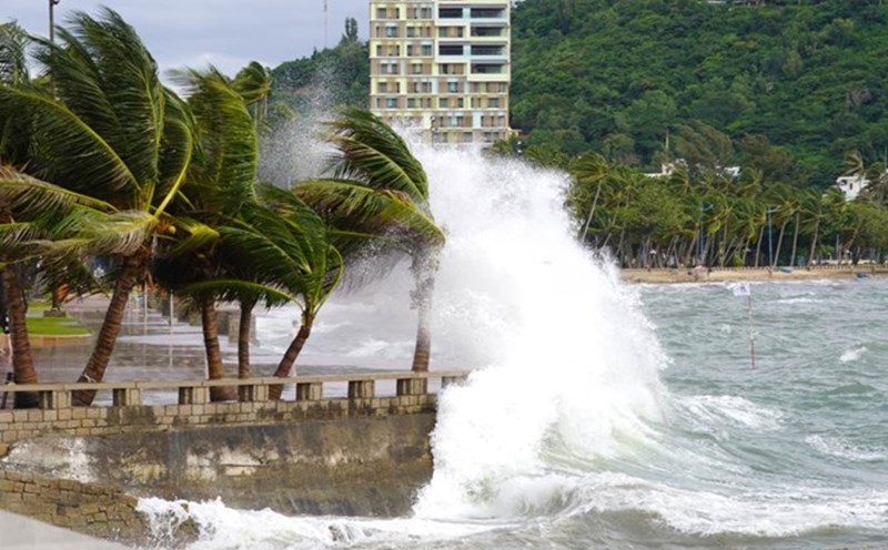
At sea, the sea area north of the North East Sea will gradually increase to level 8-9, then increase to level 10-14, the area near the center of the super typhoon will pass strongly at level 15-17, gusting above level 17, waves over 10m high, the sea will be very rough.
From September 24, the wind in the Gulf of Tonkin will gradually increase to level 6-7, then increase to level 8-10, the area near the storm's eye will have level 11-13, gusting above level 16, waves 5-7m high, and rough seas.
Ship in the danger zone are likely to be affected by thunderstorms, whirlwinds, strong winds and large waves.

Due to the impact of super typhoon Ragasa, visitors are advised to closely monitor updated weather reports, limit travel to coastal areas and islands in the coming days.
Flights, ships and island tours may be changed or canceled, so it is necessary to proactively contact transport airlines and travel agencies to adjust the plan.
Tourists should also prepare a backup plan and ensure personal safety during travel.