
On the afternoon of July 31, in an exchange with a reporter from Lao Dong Newspaper, a representative of the Project Management Board for Construction Investment and Land Fund Development of Le Thuy commune (Quang Tri province) said that the locality is coordinating with specialized units to survey geology to determine the cause of the serious subsidence that occurred on the inter-communal road through Thach Tan village.
According to the plan, the survey will be deployed from August 1. The specialized unit will use specialized equipment to survey 3 cross-sections at 3 locations on the road section where the incident occurred, thereby assessing the geological conditions under the roadbed and serving the identification of subsidence causes.
Representatives of the Project Management Board for Construction Investment and Land Fund Development of Le Thuy commune said that after the locality reported the incident, Quang Tri Provincial People's Committee directed the Department of Construction and the Department of Agriculture and Environment to inspect the scene. In parallel with that, the commune proactively invited a geological consulting unit to survey, serve the evaluation and propose handling plans.
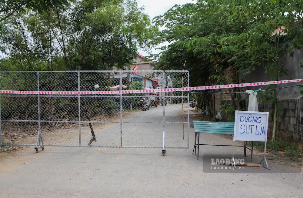
Previously, Lao Dong Newspaper reported that at noon on July 27, people in Thach Tan village heard a loud noise and then discovered many cracks on the road surface. Just a few minutes later, a section of road about 50m long suddenly subsided.
The affected area is located along a branch of the Kien Giang River. The incident caused half of the road surface to slide towards the riverbank, the deepest subsidence point is more than 2m, revealing layers of soil and rock below.
Functional forces have set up barriers, planted warning signs and banned vehicles from passing through the area to ensure safety.


