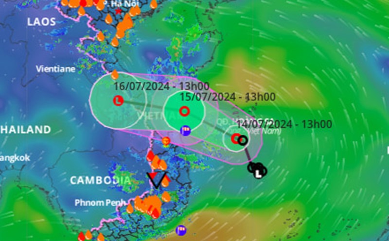
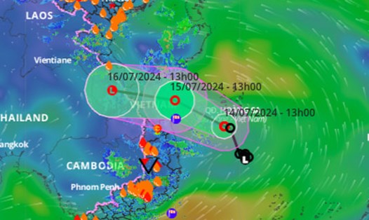
Latest update from the National Center for Hydro-Meteorological Forecasting, at 7:00 a.m. on July 15, the location of the tropical depression center is at about 15.9 degrees north latitude; 110.0 degrees east longitude, in the west southwest sea of the Hoang Sa archipelago.
The strongest wind in the area near the center of the tropical depression is strong at level 6 (39 - 49km/h), gusting at level 8; moving in the west-northwest direction at a speed of about 10km/h.
It is forecast that in the next 24 hours , the tropical depression will move in the west-northwest direction at a speed of about 15km/h. The circulation of the tropical depression will likely move inland this afternoon and evening.
After that, the tropical depression continued to gradually weaken into a low pressure area. At 7:00 a.m. on July 16, the center of the low pressure area was located in the Southern Laos area.
The National Center for Hydrometeorological Forecasting has warned of the impact of tropical depression.
At sea , the northwest waters of the area between the East Sea and the southwest waters of the North East Sea region (including the waters of the Hoang Sa archipelago) and the offshore waters from Quang Binh to Quang Ngai have rain. Strong winds and thunderstorms , strong winds at level 6, gusts at level 8, rough seas.
The sea area from Binh Dinh to Ca Mau, the South East Sea region (including the waters of the Truong Sa archipelago) has strong winds of level 6, gusts of level 8 - 9; rough sea. The Gulf of Tonkin area has strong winds at level 5, sometimes level 6; The sea is rough, waves are 1.5-2.5m high.
Areas above sea waves can reach levels of 2 - 4m.
In addition, the offshore sea area from Quang Binh to Quang Ngai has waves 1.5 - 3m high; rough sea.
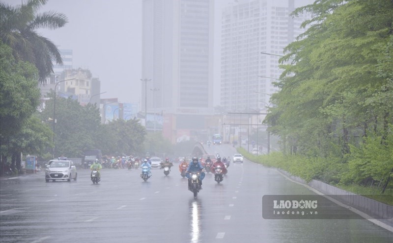
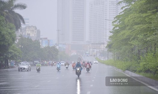
On the mainland , from July 15 to July 17, the Northern Delta, Central Highlands and Southern regions; The North and Central Central regions have showers and thunderstorms; Locally there is heavy to very heavy rain.