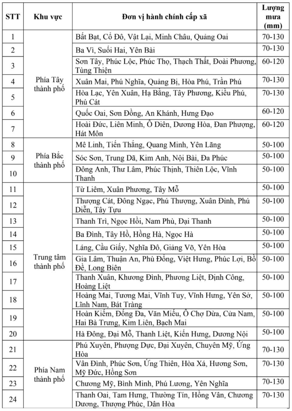
According to the Northern Hydrometeorological Station, from last night to August 30, Hanoi has had showers and thunderstorms. Rainfall from 7am on August 29 to 7am on August 30 was generally from 5 - 15mm, some places were larger: Quang Oai 48mm; Suoi Hai 30mm; Huong Son 23.2mm; Thuong Tin 22mm,....
Meanwhile, storm No. 6 is about to make landfall, although Hanoi is not in the focus area affected by the storm, it will still be affected.

Discussing the detailed impact of storm No. 5 on Hanoi, Mr. Nguyen Van Hiep - Deputy Director of the Northern Hydrometeorological Station said that many rainfall combinations will include a tropical convergence zone with an axis through the North Central region connecting storm No. 6, combined with a convergence of winds of up to 5,000m to gradually strengthen.
According to Mr. Hiep, Hanoi city this morning (August 30th) has showers, locally heavy rain and thunderstorms. From this afternoon (August 30), to the evening of August 31, there will be moderate rain, heavy rain, locally very heavy rain and thunderstorms. During thunderstorms, there is a possibility of tornadoes, lightning and strong gusts of wind.
"Tous rainfall from the afternoon of August 30 to the evening of August 31 in the northern and central areas of the city: generally 40 - 70mm, some places over 100mm. The western and southern areas of the city are generally 50 - 100mm, some places over 150mm" - Mr. Hiep provided detailed information on rainfall forecast.

The meteorological agency of the Northern Region warned that the thunderstorms could be accompanied by tornadoes, lightning and strong gusts of wind that could break trees, damage houses, traffic works and infrastructure.
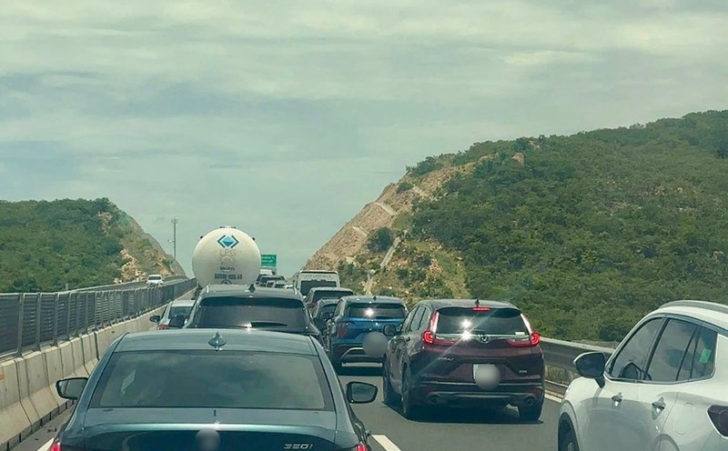
Heavy rain overloaded the urban drainage system, causing flooding in residential areas, urban areas and low-lying areas, traffic congestion due to flooding and reduced visibility when driving, causing slippery traffic and accidents. High-intensity rain in a short period of time can cause landslides in mountainous areas, where the terrain is steep.
According to the National Center for Hydro-Meteorological Forecasting, at 7:00 a.m. on August 30, the center of storm No. 6 was at about 17.7 degrees north latitude; 108.4 degrees east longitude, in the Ha Tinh - Hue sea area, about 210km east of the northern area of Quang Tri. The strongest wind near the storm center is level 8 (62-74km/h), gusting to level 10. The storm is moving west-northwest at a speed of about 20km/h.
It is forecasted that in the next 12 hours, the storm will move west-northwest at a speed of about 20km/h, making landfall in Ha Tinh - North Quang Tri provinces, and gradually weakening into a tropical depression.
At 7:00 p.m. on August 30, the center of the tropical depression was at about 18 degrees north latitude; 106.1 degrees east longitude with strong winds of level 7, gusting to level 9.
The danger zone is from 14.5 - 20 degrees north latitude; west of the longitude 111.5 degrees east longitude. Level 3 natural disaster risk in the western sea area of the northern East Sea, the sea area from Thanh Hoa to Da Nang (including Hon Ngu island, Con Co special area).


