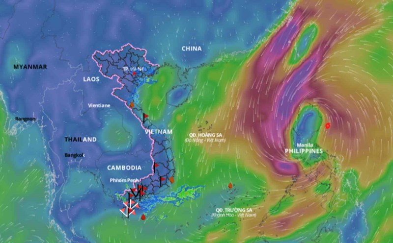
Latest update from the National Center for Hydro-Meteorological Forecasting, at 1:00 p.m. on September 2, the center of storm Yagi was located at about 16.1 degrees north latitude; 122.5 degrees east longitude, in the sea east of Luzon Island (Philippines). The strongest wind near the center of the storm is 8 (62 - 74 km/h), gusting to level 11, moving northwest, about 20 km/h.
In the next 24 hours , Typhoon Yagi is forecast to move west-northwest at a speed of about 20km/h. At 1pm on September 3, the centre of the storm is forecast to be at around 19.1 degrees north latitude - 121.5 degrees east longitude. The strongest wind near the centre of the storm is at level 9, gusting to level 12. The danger zone due to the storm is north of latitude 15.5; east of longitude 119.
In the next 48 hours, Typhoon Yagi is forecast to move west at a speed of about 10km/h, moving into the East Sea. At 1pm on September 4, the centre of the storm was at about 19.6 degrees north latitude - 119.2 degrees east longitude. The strongest wind near the centre of the storm is at level 10, gusting to level 13. The danger zone due to the storm is north of latitude 17.5; east of longitude 117.
In the next 72 hours, Typhoon Yagi is forecast to move west at a speed of about 15 km/h. At 1:00 p.m. on September 5, the center of the storm was at about 19.7 degrees north latitude - 116.5 degrees east longitude. The strongest wind near the center of the storm is level 11, gusting to level 14.
From the next 72 to 120 hours , the storm is forecast to move mainly westward, traveling 10 - 15km per hour, with the possibility of strengthening.
Regarding the impact of the storm , it is forecasted that from the afternoon of September 3, the northeastern sea area of the North East Sea will gradually increase in wind strength to level 6, near the eye of the storm it will increase to level 8, gusting to level 11; rough seas. It is forecasted that from September 4 to 6, storm Yagi may reach a very strong storm level in the northeastern East Sea area, with maximum wind strength reaching level 12, gusting to level 15 near the eye of the storm.
In the next 24 hours, the eastern sea of the North East Sea will have waves 2-4m high. Then, from September 4-6, the waves may increase to 5-7m high. The sea will be rough and very dangerous for ships.