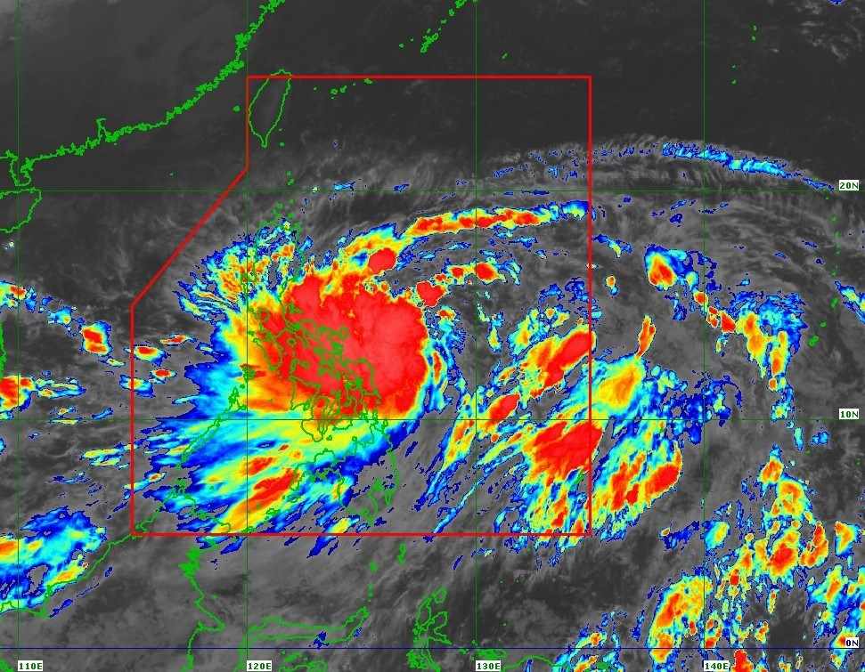
The latest storm news from the Philippine Atmospheric, Geophysical and Astronomical Services Administration (PAGASA) said that at 4:00 a.m. on October 22, the center of storm Kristine (international name Tra Mi) was at about 13.2 degrees north latitude, 127.8 degrees east longitude, 390km east of Virac, Catanduanes, Philippines.
The strongest wind near the storm center is 65 km/h, gusting up to 80 km/h and the central pressure is 994 hPa.
The storm is moving west at 15 km/h. The tropical cyclone's wind radius extends up to 680 km from the center of the storm.
PAGASA warns of strong winds of level 6-7 in Luzon, Visayas, Mindanao.
Rough to very rough seas with waves up to 6.5 meters high are forecast for the next 24 hours in Isabela, northern and eastern coasts of the Bicol Region.
Waves of 5.5m were recorded on the coasts of Batanes, Cagayan and Aurora, the northern and eastern coasts of Northern Samar.
Waves of 4.5m were recorded at the coast of Polillo Islands, the northern coast of Ilocos Norte, the remaining coasts of the Bicol Region, the western coast of Northern Samar, the northern coast of Biliran and the northern coast of Samar.
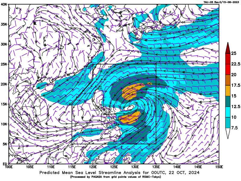
Hurricane Kristine is expected to move northwest to west-northwest through Thursday (October 24) before turning west for the remainder of the forecast period.
According to the forecast track, this tropical storm may make landfall in Isabela tomorrow evening (October 23) and may leave the Philippine Forecast Area (PAR) by Friday evening (October 25).
The possibility of a change in the forecast track cannot be ruled out, depending on the movement of weather systems surrounding this tropical storm over the next few days.
Kristine is expected to remain a tropical storm for the next 24 hours. It could reach severe tropical storm status tomorrow (October 23) and could make landfall in Isabela as a severe tropical storm.
The storm is expected to reach typhoon strength on October 25 when it enters the South China Sea, according to PAGASA.
Currently, since this tropical storm is still over the Philippine Sea, the possibility of rapid intensification due to favorable environmental conditions cannot be ruled out.
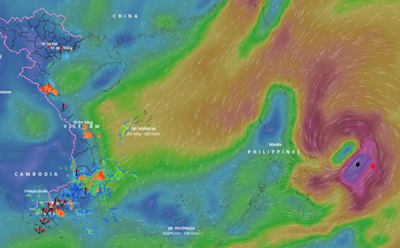
The Vietnam National Center for Hydro-Meteorological Forecasting also predicts that around October 25, storm Tra Mi is likely to move into the East Sea and become storm number 6 in 2024.
From around the afternoon and night of October 24, the eastern sea area of the northern East Sea (east of the 118.5 degree east longitude) will gradually increase in wind strength to level 8, near the storm center it will be level 9-10, gusting to level 12, very rough seas, waves 3-5m high, thunderstorms with dangerous whirlwinds.