The hot low pressure area in the West has a stable intensity, then weakens and gradually fills up; From August 12 to 13, there is a possibility of a low pressure trough forming through the Northern region. The southwest monsoon that dominates the Southern region has moderate intensity.
At high altitude, the subtropical high pressure has an axis passing through the South Central and the South and operates relatively stably until the weekend when it lifts its axis to the North.
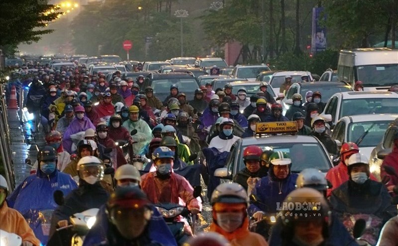
During the days of mid-August, rain continued to fall across almost the entire region, with showers and thunderstorms common in some scattered places. In particular, from August 13 to 18, there were showers and thunderstorms in some places; From August 19 to 20, there will be locally scattered showers and thunderstorms with moderate and heavy rain. During a thunderstorm, watch out for strong winds, tornadoes, and lightning.
The average temperature is generally higher than the average for many years during the same period, ranging from 27.5-28.5 degrees Celsius. Total weekly rainfall is generally lower than the average for many years, ranging from 30-80mm.
The last days of August are likely to see heavy rains of over 50mm, taking place in the East, West and Ho Chi Minh City. Total rainfall in August was 10-15% lower than the average for many years in the same period.