From June 2025 to now, there have been 4 storms and 2 tropical depressions in the East Sea. Of which, there are 2 storms affecting Vietnam, which are storm No. 1 and storm No. 3. Currently, a tropical depression is in the Gulf of Tonkin, the second tropical cyclone of August. Although not as strong, this tropical depression will have a direct impact on the mainland.

This afternoon, August 18, a reporter from Lao Dong Newspaper discussed with Mr. Nguyen Van Huong - Head of Weather Forecast Department, National Center for Hydro-Meteorological Forecasting, Department of Hydro-Meteorology about the development of the tropical depression.
Sir, what is the forecast for the tropical depression's path in the next 24 hours?
- This morning (August 18), the tropical depression passed the southern area of Hainan Island (China) and entered the Gulf of Tonkin. It is forecasted that in the next 24 hours, the tropical depression will move northwest at a speed of about 15km/h and move towards the Quang Ninh - Hai Phong area.
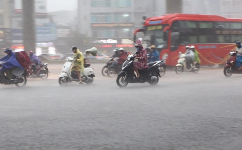
Due to the influence of the tropical depression circulation in the coastal area of Quang Ninh - Hai Phong from this evening, August 18, there will be strong winds of level 6, gusts of level 8, waves 2-3m high, rough seas.
The sea area east of the South Quang Tri area, the Gulf of Tonkin area (including the special areas of Bach Long Vi and Co To) will have thunderstorms and strong winds of level 6-7, gusts of level 9, waves 2 - 3.5m high, rough seas. Ship operating in the above-mentioned dangerous areas are likely to be affected by thunderstorms, whirlwinds, strong winds, and large waves.
When will the tropical depression cause heavy rain on land and which areas are the focus, sir?
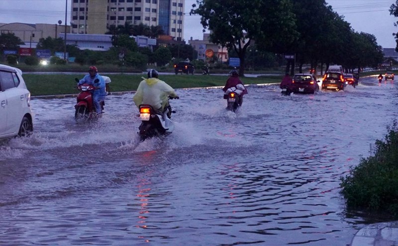
- The Northeast and Thanh Hoa are the focus of heavy rain. Due to the impact of the tropical depression, from August 18 to the night of August 19, the above key areas will have moderate rain, heavy rain and thunderstorms with common rainfall of 50 - 130mm, locally very heavy rain over 250mm.
On the day and night of August 18, Nghe An and Ha Tinh will have moderate rain, heavy rain and thunderstorms with common rainfall of 30 - 60mm, locally very heavy rain over 150mm. Warning of the risk of heavy rain with rainfall greater than 100mm within 3 hours.
With such an extreme risk of rain, which areas should flood warnings be focused on, sir?
- During the heavy rain from August 18 to 19, there is a possibility of flooding on small rivers in the Northeastern provinces, from Thanh Hoa to Ha Tinh. In particular, special attention should be paid to the risk of flash floods and landslides in the midlands and mountainous areas of the North, the mountainous areas west of Thanh Hoa - Ha Tinh provinces.
Sincerely thank you!
According to the meteorological agency, in addition to the tropical depression currently operating in the Gulf of Tonkin; through monitoring and analysis of the current status of the weather system and forecast products, it is shown that from now until the end of August 2025, there is a possibility of another low pressure area appearing, which may strengthen into a tropical depression/storm.