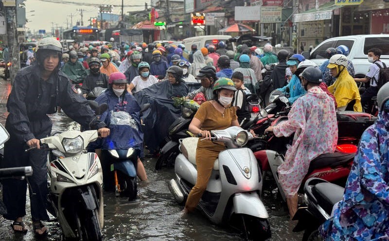
According to the National Center for Hydro-Meteorological Forecasting, many areas across the country are forecast to have rain.
In the afternoon and evening of May 27, the Central Highlands and the South, Ninh Thuan, Binh Thuan will have scattered showers and thunderstorms, locally heavy rain with rainfall from 10 - 30mm, some places over 50mm. During thunderstorms, there is a possibility of tornadoes, lightning, hail and strong gusts of wind.
From the evening of May 28 to the night of May 29, the Northern and North Central regions are likely to experience moderate rain, heavy rain and thunderstorms, locally very heavy rain with total rainfall of 30 - 80mm, some places over 180mm.
The meteorological agency warns of the risk of heavy rain (rainfall greater than 100mm within 3 hours).
The warning level of natural disaster risk due to heavy rain, tornadoes, lightning, and hail is level 1. Heavy rain is likely to cause flooding in low-lying areas, urban areas, industrial parks; flash floods on small rivers and streams, landslides on steep slopes.
Regarding the sea weather, currently, the southern Gulf of Tonkin, the sea area from Quang Tri to Hue, the northern East Sea and the central East Sea (including the sea area of Hoang Sa archipelago) have scattered showers and thunderstorms.
Forecast of day and night, May 27, the southern sea of Tonkin Gulf, the waters from Quang Tri to Hue, Ca Mau Sea to Kien Giang and the Gulf of Thailand, the North China Sea (including Hoang Sa Archipelago), the middle and South China Sea (including Truong Sa Archipelago) with scattered showers and thunderstorms.
During thunderstorms, there is a possibility of tornadoes, strong gusts of wind of level 6 - 7 and waves over 2m high. All ships operating in the above areas are at risk of being affected by tornadoes and strong gusts of wind.