The National Center for Hydro-Meteorological Forecasting has issued a weather trend forecast for March.
Regarding temperature trends, the temperature in the Northern region and from Thanh Hoa to Hue is generally 0.5 - 1 degree Celsius lower than the average of many years in the same period, other places are generally at a level similar to the average of many years.
In March 2025, cold air tends to be more active than the average of many years. However, because the center of the continental cold high pressure tends to deviate to the east, it can cause many days of light rain, drizzle and fog.
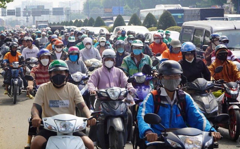
This phenomenon is concentrated in the Northeastern and North Central provinces, which will affect people's daily activities as well as traffic.
In the first half of March 2025, severe cold is likely to appear, concentrated in the northern mountainous areas. The severe cold affects the growth and development of crops in the mountainous provinces of the North.
During the forecast period, cold air is likely to cause strong winds, large waves, affecting fishermen's maritime activities and fishing at sea.
Previously, in February 2025, there were 4 cold air waves on February 3, February 7, February 16 and February 23. In the Northern region, there have been 2 widespread cold spells from February 7 to 10 and from February 24 to 26.
The lowest temperature in this cold air mass in the North and North Central regions is generally from 11 - 14 degrees Celsius, in high mountainous areas below 5 degrees Celsius such as: Sa Pa (Lao Cai) 4.4 degrees Celsius, Dong Van (Ha Giang) 4.3 degrees Celsius, Tam Dao (Vinh Phuc) 4.8 degrees Celsius, Mau Son (Lang Son) 1.2 degrees Celsius...
The heat in March will increase in the Southern region (concentrated in the Eastern provinces) and appear locally in the Northwest and North Central regions.
The heat affects the lives and production of people in the Southern region.
The total rainfall in the Northern and North Central regions is generally approximately the average of many years in the same period. Other areas are 10 - 20mm higher, especially in the Central Central and Southern Central Highlands areas, 20 - 40mm higher, some places are higher than the average of many years in the same period.
During the forecast period, the Central region is likely to experience some days of scattered showers and thunderstorms in some places. The Southern region may experience unseasonal thunderstorms.