Weather forecast for the next 24-48 hours, continental cold high pressure will continue to occur in the Northern - Central provinces and diffuse to the South, on December 11, it will strengthen in the north of our country.
Above, the subtropical high pressure system with an axis through the Central region is operating stably. The equatorial low trough is gradually strengthening in the Southeast of the East Sea. The Northeast wind in the offshore waters of the Southeast region is gradually decreasing in intensity.
The continental cold high pressure continues to strengthen in our country's regions, from December 16 it will gradually weaken, and from December 19-20 it will strengthen further. Above, the subtropical high pressure with an axis through the Central Central region will continue to slowly lift its axis to the North and gradually encroach to the West after reaching a stable intensity.
From December 12-14, the equatorial low pressure trough lifted its axis to the North, combined with disturbances in the upper easterly wind zone gradually becoming stronger, affecting the weather in the South. The northeasterly wind in the sea off the Southeast gradually became stronger again.
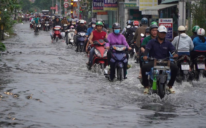
Therefore, in the coming days, the Southern region will have unseasonal rain again. Be careful during thunderstorms with the possibility of tornadoes, lightning and strong gusts of wind.
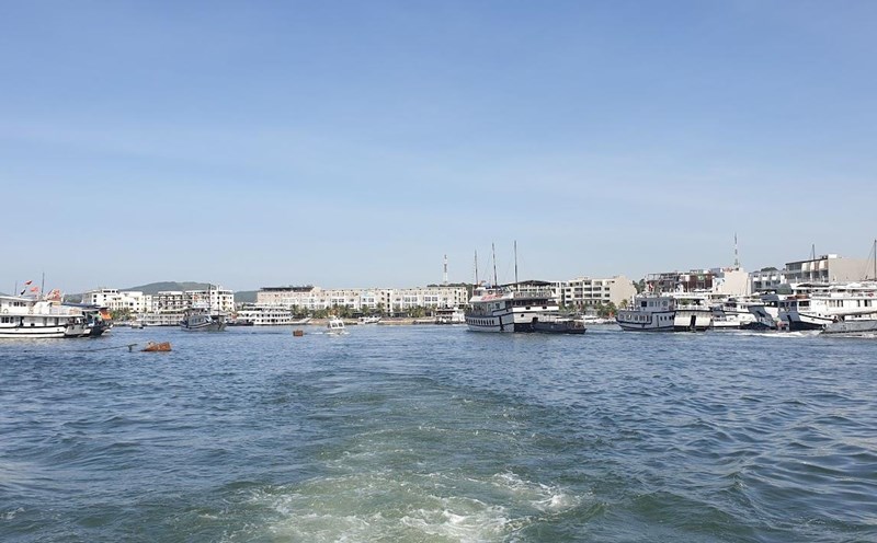
The sea area from Ba Ria-Vung Tau to Ca Mau has northeast wind at level 6, gusting to level 7-8. The sea weather has scattered showers and thunderstorms.
Water levels at most stations in the downstream of the Saigon - Dong Nai River will change slowly over the next 2-3 days, then rise slowly. By December 13, the highest daily tide will be approximately 0.05 m above or above alert level I. This peak tide is likely to occur on December 17-19.


