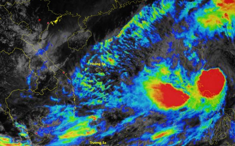
According to the National Center for Hydro-Meteorological Forecasting, there is currently an active tropical depression in the eastern Philippines.
At 4:00 p.m. on October 21, the center of the tropical depression was at about 13.5 degrees north latitude; 131.0 degrees east longitude, about 1,300 km southeast of Luzon Island (Philippines). The strongest wind near the center of the tropical depression was level 7 (50 - 61 km/h), gusting to level 9.
Mr. Nguyen Van Huong - Head of Division Weather Forecast, National Center for Hydro-Meteorological Forecasting said that in the next 24 hours, the tropical depression is forecast to move mainly in the west-northwest direction and is likely to strengthen into a storm.
At 4:00 p.m. on October 22, the center of the storm was located at approximately 14.8 degrees north latitude; 127.1 degrees east longitude, in the sea east of the Philippines. The strongest wind near the center of the storm was level 8 (62 - 75 km/h), gusting to level 11. Waves were 3 - 4 meters high.
"From around the afternoon and night of October 24, the eastern sea area of the North East Sea (east of the 118.5 degree east longitude) will have winds gradually increasing to level 8, near the storm center at level 9 - 10, gusting to level 12; very rough seas, waves 3 - 5m high, thunderstorms with dangerous whirlwinds" - Mr. Huong warned.
According to Mr. Huong, it is forecasted that around October 25, the storm is likely to move into the East Sea.
The National Center for Hydro-Meteorological Forecasting will continue to update the developments of this tropical depression that is likely to strengthen into a storm.