New storm coming, dangerous sea weather continues

AN AN |

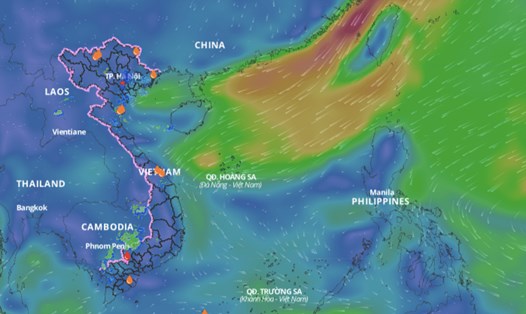
The meteorological agency has continuously warned of thunderstorms and strong winds in the East Sea before a new storm appears.

According to the National Center for Hydro-Meteorological Forecasting, currently, in the eastern sea area of ​​the North East Sea, there are strong northeast winds of level 6, sometimes level 7.

The southern sea area between the East Sea and the South East Sea (including the waters of the Truong Sa archipelago), the southern area of ​​the Gulf of Tonkin, the sea area from Quang Tri to Quang Ngai and the Gulf of Thailand have scattered showers and thunderstorms.

During the day and night of October 21, the North East Sea (including the waters of the Hoang Sa archipelago) will have strong winds of level 6, sometimes level 7 in the east, gusting to level 8-9. The sea will be rough, with waves 2.5 - 4.5m high.

The western sea area of ​​the North East Sea (including the waters of the Hoang Sa archipelago), the central and southern East Sea area (including the waters of the Truong Sa archipelago), the southern area of ​​the Gulf of Tonkin, the waters from Quang Tri to Ca Mau, Ca Mau to Kien Giang and the Gulf of Thailand are forecast to have scattered showers and thunderstorms. During thunderstorms, there is a possibility of tornadoes and strong gusts of wind of level 7 - 8.

During the day and night of October 22, the North East Sea area (including the waters of Hoang Sa archipelago) will have strong northeast winds of level 6, sometimes level 7 at night, gusting to level 8 - 9, rough seas; waves 2 - 4m high.

On the night of October 22, the northeast wind in the Gulf of Tonkin gradually increased to level 6, gusting to level 7-8; rough seas; waves from 1.5 to 2.5 meters high. The sea area from Quang Tri to Binh Thuan and the northern sea area of ​​the central East Sea had strong northeast wind at level 5, sometimes level 6, gusting to level 7-8; rough seas; waves from 2 to 3.5 meters high.

The risk level for natural disasters due to strong winds at sea is level 2. All vessels operating in the above areas are at high risk of being affected by tornadoes, strong winds and large waves.

From October 23 to 25, there is a possibility of tropical depression or storm activity in the East Sea.

AN AN
RELATED NEWS

Before the new storm, the East Sea weather is dangerous

|

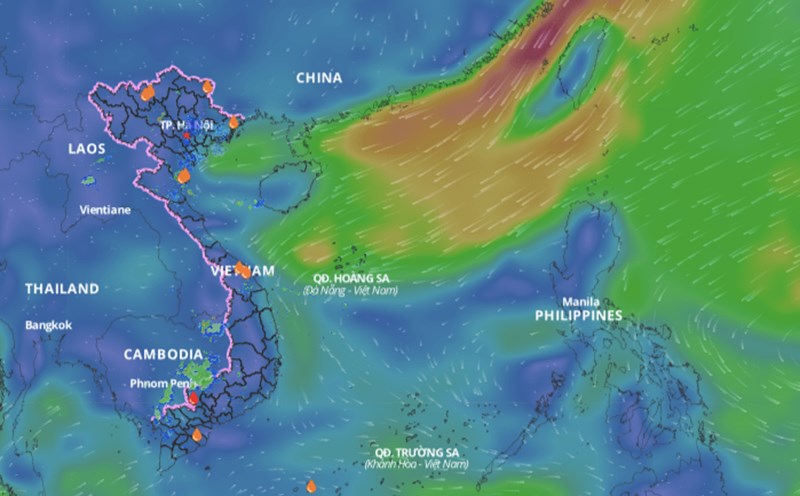
Before the new storm formed, the meteorological agency continuously issued warnings of thunderstorms and strong winds in the East Sea due to cold air.

Forecast of upcoming storm and cold air in the East Sea

|

The meteorological agency forecasts that next week, there is a possibility of tropical depression or storm activity in the East Sea.
Forecast of how many storms and landfall areas

|

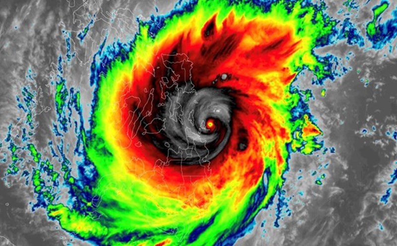
In the last months of 2024, storms/tropical depressions making landfall are likely to be concentrated in the Central region and southern provinces.

Nearly 200 workers in Son La are waiting to be paid salaries near Tet

|

Son La - Nearly 200 workers in Chieng Khoong commune are waiting for the construction unit of the Primary - Secondary Inter-level Boarding School Project to pay wages on the eve of Tet.

Holding 1 million VND, still can't buy 1kg of Ca Mau crab on the eve of Tet

|

Some Ca Mau crabs have exceeded the 1 million VND/kg mark in the days leading up to the Binh Ngo Lunar New Year 2026.

Workers wake up at 4 am, excitedly returning to their hometowns on a trade union bus

|

Hai Phong - On the morning of February 14, hundreds of workers boarded a bus to return to their hometowns to celebrate Tet organized by the Trade Union of Yazaki Hai Phong Vietnam Co., Ltd.

Fishing boats dock at the end of the year, ready for the first spring sea trip

|

Can Tho - After many long days of sticking to the fishing grounds, fishermen's fishing boats have returned to shore to celebrate Tet and prepare for the first sea trip of the new year.

Rainy and cold weather in Hanoi due to cold air during the Binh Ngo Tet 2026

|

Forecast from the 27th to the 29th of Tet, Hanoi's weather during the day is quite warm. However, from the night of the 29th of Tet, the weather is likely to turn rainy and cold due to cold air.

Before the new storm, the East Sea weather is dangerous

AN AN |

Before the new storm formed, the meteorological agency continuously issued warnings of thunderstorms and strong winds in the East Sea due to cold air.

Forecast of upcoming storm and cold air in the East Sea

AN AN |

The meteorological agency forecasts that next week, there is a possibility of tropical depression or storm activity in the East Sea.
Forecast of how many storms and landfall areas

NHÓM PV |

In the last months of 2024, storms/tropical depressions making landfall are likely to be concentrated in the Central region and southern provinces.