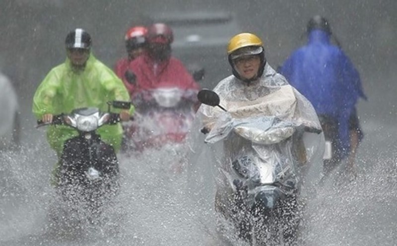
Many areas across the country are facing a widespread heat wave. People felt the burning heat and suffocation because many places reached 40 degrees Celsius.
Mr. Nguyen Van Huong, Head of Weather Forecast Department, National Center for Hydro-Meteorological Forecasting, provided the latest comments on this hot spell.

Sir, how do you evaluate the severe heat that is occurring in many areas across the country?
- During the two days of August 3 - 4, the Northern region, the provinces from Thanh Hoa to Thua Thien Hue and the Southern coast experienced widespread heat and hot weather. In particular, the Northern Delta is the focus of this period, recording a record high temperature in August.
In Lang (Hanoi), the temperature was recorded at 39.7 degrees Celsius; Phu Ly (Ha Nam) was 39.3 degrees Celsius.
The forecast temperature in hot weather reports and the actual outdoor temperature may range from 2 - 4 degrees Celsius, or even higher depending on buffer conditions such as concrete and asphalt.
What are the causes of this record heat wave, sir?
- The main cause of record-breaking heat in the North is due to strong activity of the hot low pressure in the west, pushing dry and hot air to the area.
In addition, the high-altitude wind phase (at level 1500 - 3000m, north to northwest) causes little cloud, clear sky, increasing the intensity and time of sunshine.
In addition, the west to southwest winds are low, blowing from Thanh Hoa down to the plains, bringing the effect of a flat wind that makes the air warmer and the humidity decreases.
At 1:00 p.m. on August 4, the humidity in Hanoi and the plains was only 47 - 52%, causing a feeling of dryness and discomfort.
The combination of the three factors mentioned above makes the Northern Delta the hot spot of this sunshine.
So when will there be thunderstorms to cool down and this record heat will completely end, sir?
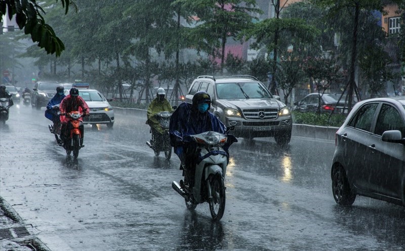
- On the evening and night of August 4, the low pressure trough operating through the North will cause thunderstorms in the midlands and mountainous areas, locally heavy rain with rainfall of 10 - 30mm, locally over 60mm.
From the afternoon and night of August 5, thunderstorms will spread throughout the North, the heat will decrease, only occur locally in the plains with the highest temperature of about 35 - 36 degrees Celsius.
By August 6, when more rain appears, the impact of the low pressure, wind shear and high-altitude phase will completely end, ending the heat wave.
Sincerely thank you!
Previously, in July, there were 3 hot weather periods in the Northern region from July 8 to 9; from July 17 to 19 and from July 28 to 31, with the highest temperature of the day generally from 35 to 38 degrees Celsius, in some places higher.
In the provinces from Thanh Hoa to Da Nang, the eastern areas of the provinces from Quang Ngai to Dak Lak and Khanh Hoa, there were 3 hot weather periods on July 8 - 9; from July 16 - 19 and July 29 - 31, with the highest temperature of the day generally from 35 - 38 degrees Celsius, some places higher.