Since the beginning of 2025, 2 tropical depressions and 3 storms have been recorded in the East Sea. The activity of storms and tropical depressions is forecast to increase in the coming months.
Associate Professor, Dr. Mai Van Khiem - Director of the National Center for Hydro-Meteorological Forecasting has given notable analysis related to the trend of this year's storm season.
Mr. Associate Professor, Dr. Mai Van Khiem, how do you evaluate the development of storms and tropical depressions since the beginning of the season?
- Since the beginning of the storm season, it is noteworthy that storm No. 1 has had a special, unusual and extreme nature, rare in the history of hydrometeorology in the Central region.
This is the first storm in the East Sea to appear in June in more than 40 years, and the first to cause particularly heavy rain in the Central Central region in June since 1952, with rainfall far exceeding previous records.
It was only the first storm of the season, but storm No. 1 had an unusual path and trajectory. That shows that there are increasingly abnormalities in the movement of storms due to the impact of climate change.

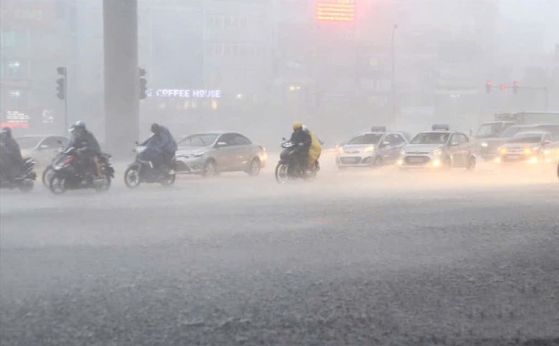
Storm No. 3 Wipha formed on July 19, moving quickly into the East Sea and reaching its peak of level 12, gusting to level 15 on July 21 before weakening and making landfall in Ninh Binh - Thanh Hoa at noon on July 22.
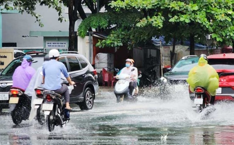
The storm caused strong winds over a wide area of the coastal areas of the North and North Central regions, in which Tien Yen (Quang Ninh) recorded gusts of level 14. The storm's circulation caused very heavy rain, many places exceeded 300mm in just 24 hours, especially Nga Son (Thanh Hoa) 412.6mm and caused a major flood in Nghe An.
With unusual nature since the beginning of the season, what are the points to note in this year's storm season and how to assess the risk of strong storms, sir?
- In years affected by a strong El Nino or strong La Nina, the fluctuations of storms can become unusual. However, we warn that although this year is not a strong El Nino or La Nina year, the development of storms and tropical depressions is still complicated, attention and precautions are needed.
The forecast for the number of storms and tropical depressions this year is approximately the average of many years, the whole season ranges from 11 to 13 storms, tropical depressions operating in the East Sea, including about 5-6 storms directly affecting our mainland.
We also do not rule out the possibility of strong and very strong storms (ie winds above level 12) appearing this year. Especially in the context of the impact of climate change, many adverse factors cause storm activities to increase more frequently.
When are the storms and tropical depressions forecast to appear in succession, sir?
- We believe that this year ENSO will operate in neutral conditions, usually storms and tropical depressions will appear arrangementally in months, not concentrating on a certain time of the storm season.
Sincerely thank you!