Faced with the increasing air pollution situation in Hanoi, specialized agencies have implemented many technological solutions to monitor emissions sources and early warn of points at risk of pollution. Through the process of monitoring and analyzing data, about 110 areas at high dust risk have been identified in the city.
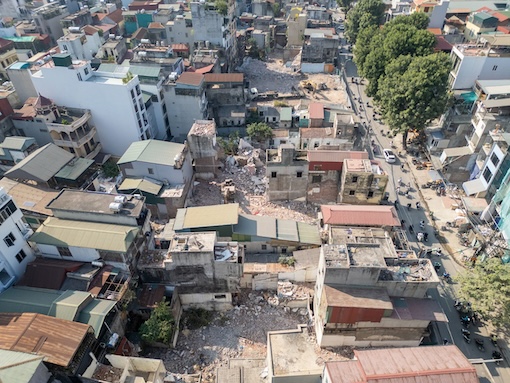
According to the National Remote Sensing Department (Ministry of Agriculture and Environment), these areas are mainly related to large construction sites, recycling craft villages and points of burning agricultural by-products. Among them, 68 large-scale construction sites and 14 plastic and steel recycling craft villages are identified as key monitoring points due to the potential risk of high dust and emissions.
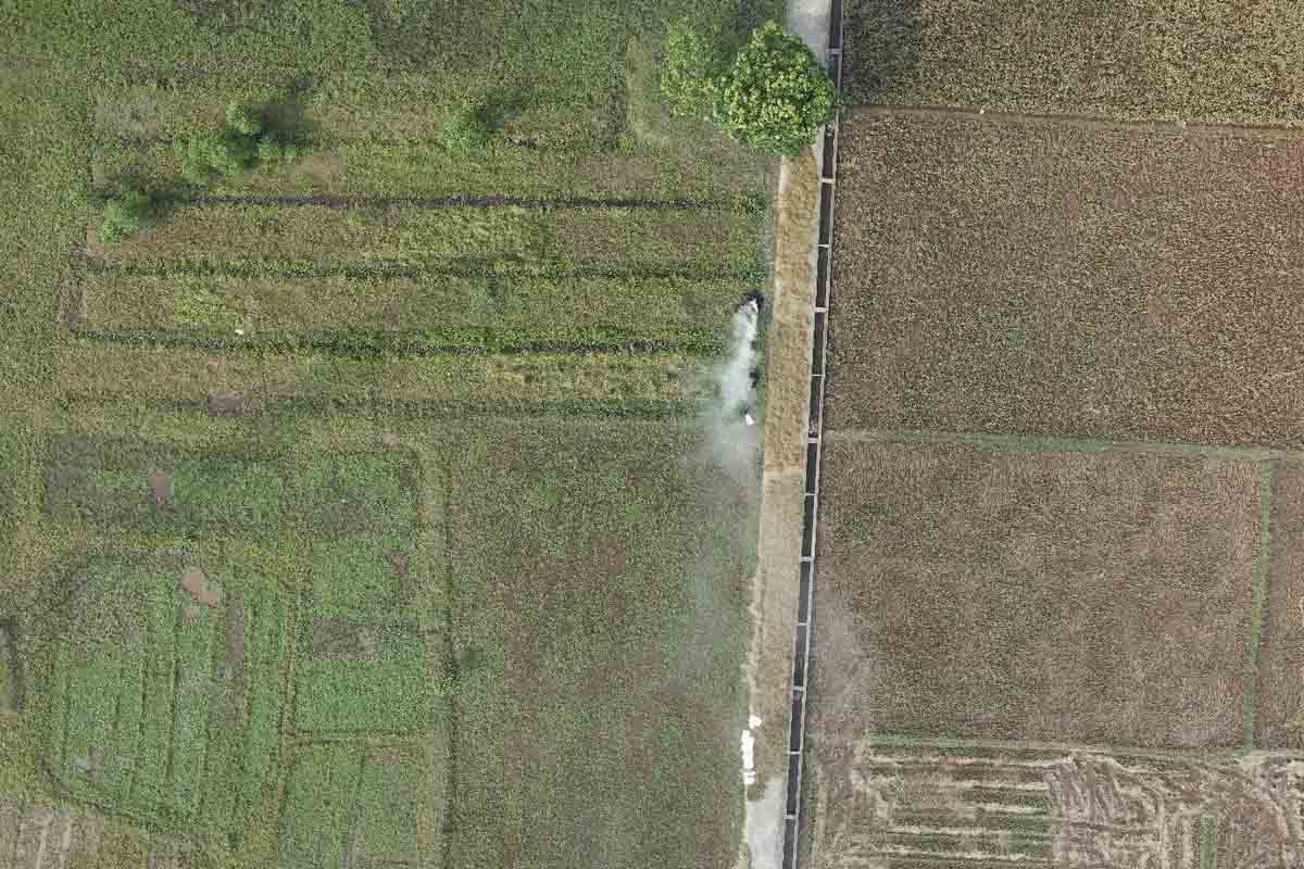
To monitor emissions, functional agencies have simultaneously applied two main technology groups, including high-resolution satellite images and drones. Satellite images help observe the entire city area, thereby detecting unusual signs such as exhaust fumes, open burning points or large-scale construction activities. Meanwhile, drones are used to monitor details, record on-site images and provide real-time data for inspection and handling.
The combination of data from satellites and drones allows management agencies to monitor both inner and outer urban areas, especially areas with straw burning, garbage burning or construction activities that generate dust. The collected data will be integrated into the geographic information system (GIS) to build a digital map of emissions throughout the city.
After a period of trial deployment, the monitoring system covered the entire area of Hanoi with satellite images and collected hundreds of km2 of image data from the air. Through this, functional agencies can accurately identify the location of dust generation, assess the level of impact and propose timely handling measures.
The synchronous application of drones and remote sensing has created breakthroughs in urban air management. Surveillance information is continuously updated and integrated on the basis of GIS data, helping functional units and local authorities easily consider and handle even minor violations.
This solution also reduces the volume of manual work that previously required sending inspection teams to patrol every day and saves budget costs for pollution treatment. Many expert opinions assess that this is an important step forward when Hanoi "proactively prevents" pollution instead of waiting for warnings from measuring stations, thereby contributing to raising awareness of people and businesses.


