
Today, September 8, the North has showers and thunderstorms in some places, sunny days; the temperature at 13:00 is commonly from 31 - 34 degrees Celsius.
Ms. Tran Thi Thuy Nga, Weather Forecast Department, National Center for Hydro-Meteorological Forecasting, said that currently, the North is in the typical autumn weather days, with little rain and a lot of sunshine.
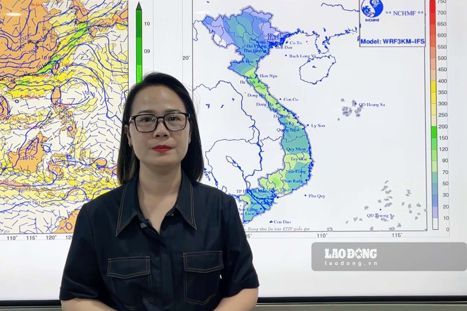
However, the early northeast monsoon will change the weather in the North and increase rain in the Central region" - Ms. Nga said.
Currently, in the North, there is a cold air mass moving south.
Around the night of September 9, this cold air mass will affect the northern mountainous area of the Northern region, then affect other places in the Northeast region, some places in the Northwest region and North Central region. On land, the wind will turn Northeast at level 2-3, coastal areas at level 3.
The North is affected by the first northeast monsoon of this year. The night and morning are cool. Due to the influence of the northeast monsoon, then combined with the activity of the trophic convergence zone, from September 10 onwards, there is a possibility of a widespread heavy rain lasting many days in the Central region" - Ms. Nga assessed.
The Northern and North Central regions from the night of September 9, the forecast for the lowest temperature in this cold air wave is commonly from 21 - 24 degrees C, especially the Northern mountainous region has places below 19 degrees C.
Hanoi area from the evening of September 9 to September 10 will have rain, showers and scattered thunderstorms, locally heavy rain; from the night of September 9, the weather will turn cool.
Regarding the development of rain due to cold air, from the evening of September 9 to September 10, the Northern region will have rain, showers and scattered thunderstorms, with locally heavy rain. On September 10, the North Central region will have moderate rain, heavy rain and scattered thunderstorms, with locally very heavy rain. In thunderstorms, there is a high possibility of tornadoes, lightning, hail and strong gusts of wind.
Rainstorms accompanied by tornadoes, lightning, hail and strong gusts of wind affect agricultural production, causing trees to fall, houses, traffic works, and infrastructure to be damaged. Heavy rain and localized heavy rain are likely to cause flash floods on small rivers and streams, landslides on slopes, and flooding in low-lying areas.
According to Ms. Thuy Nga, not only the weather affecting the mainland but also at sea, from the night of September 9, in the north of the Gulf of Tonkin, the wind will shift to Northeast with strong winds of level 4 - 5.
From noon to afternoon on September 10, in the Gulf of Tonkin and the northern sea area of the Northern East Sea, there will be strong northeast winds at level 6, gusts at level 7 - 8; sea waves 1.5 - 2.5m high, especially the northern sea area of the Northern East Sea from 2 - 3m; rough seas.
Strong winds and gusts, large waves at sea are likely to affect the operation of ships and other activities.


