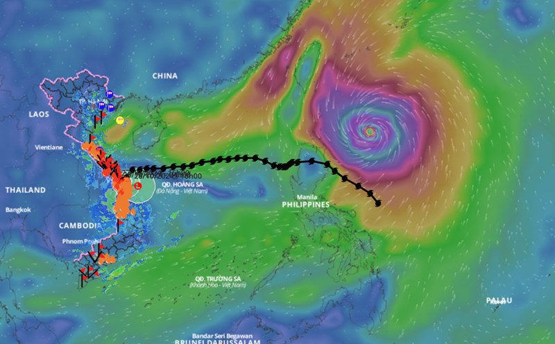
According to the National Center for Hydro-Meteorological Forecasting, due to the influence of storm No. 6, Con Co Island (Quang Tri) has strong winds of level 8, gusting to level 9; Cu Lao Cham Island (Quang Nam) has strong winds of level 8, gusting to level 10; Ly Son Island (Quang Ngai) has level 6, gusting to level 7; Bach Long Vy Island has level 8, gusting to level 10.
The sea area from Quang Tri to Quang Nam has heavy rain; the Gulf of Tonkin, the sea area from Quang Ngai to Ca Mau, Ca Mau to Kien Giang and the Gulf of Thailand have scattered showers and thunderstorms.
The meteorological agency said that currently, cold air continues to strengthen to the south.
On the day and night of October 28, the Gulf of Tonkin, the northern sea area of the North East Sea and the sea area of Quang Tri will have strong winds of level 6 - 7, gusting to level 8 - 9. The sea will be rough, with waves 2 - 5m high.
The sea area from Khanh Hoa to Ninh Thuan; the sea area west of the central East Sea has strong winds of level 6, gusting to level 7-8. Rough sea, waves from 2 - 4m high.
The sea area from Binh Thuan to Ca Mau, the sea area west of the South China Sea (including the sea area west of Truong Sa archipelago) has strong winds of level 5, sometimes level 6, gusting to level 7 - 8. Rough sea, waves from 2 - 3m high.
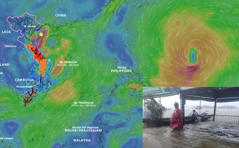
Gulf of Tonkin, the eastern sea area of the North and the middle of the East Sea, the sea area from Quang Tri to Ca Mau, Ca Mau to Kien Giang and the Gulf of Thailand have showers and thunderstorms. During thunderstorms, there is a possibility of tornadoes and strong gusts of wind.
Day and night of October 29, Bac Bo Gulf and the northern sea area of the North East Sea have strong northeast winds of level 6, sometimes level 7, gusting to level 8 - 9; waves 2 - 4.5m high; rough seas.
The sea area from Khanh Hoa to Ninh Thuan, the west of the central and southern East Sea (including the sea area west of Truong Sa archipelago) has strong southwest winds of level 6, gusting to level 7 - 8; rough seas; waves from 2 - 4m high.
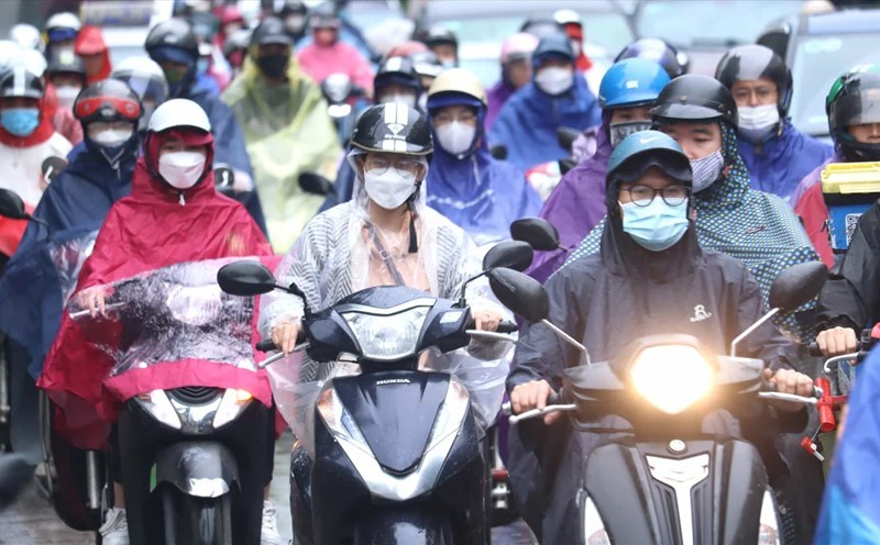
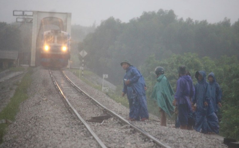
All vessels operating in the above areas are at high risk of being affected by cyclones, strong winds and large waves.