According to the National Center for Hydro-Meteorological Forecasting, from 7am to 8am on May 18, Ha Giang province had moderate to heavy rain.
Soil moisture models show that many areas in the province are nearly saturated (over 85%) or have reached a saturated state, posing a very high risk of landslides.
The meteorological agency warned that from now until 2:00 p.m. on May 18, Ha Giang will continue to have rain, with common rainfall from 30 - 50mm, some places over 70mm.
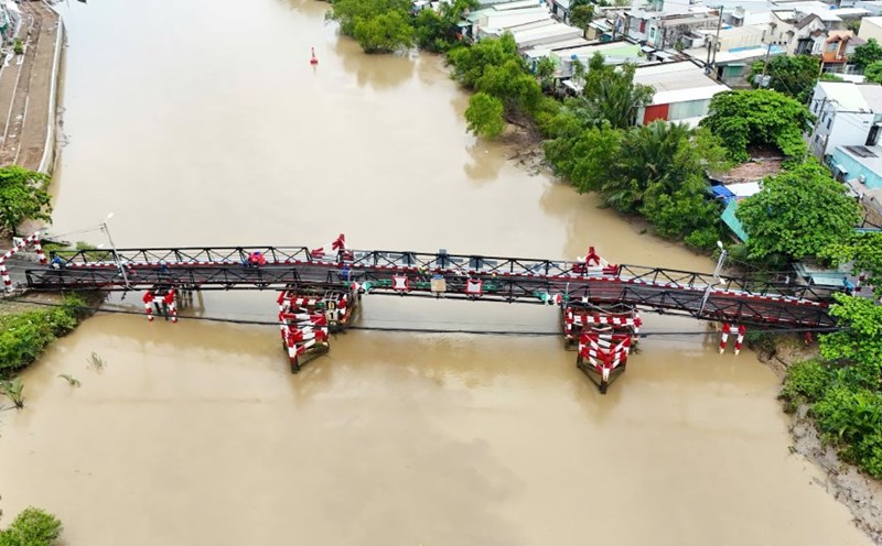
Risk of flash floods on small rivers and streams, landslides on steep slopes in many localities of Ha Giang province.
High-risk areas include Vi Xuyen, Bac Quang, Meo Vac, Dong Van, Yen Minh, Quan Ba, Bac Me, Hoang Su Phi, Xin Man, Ha Giang City, Quang Binh.
The National Center for Hydro-Meteorological Forecasting warns of a natural disaster risk level of level 1.
Flash floods and landslides can threaten people's lives; cause local traffic congestion, obstruct traffic; affect civil works, infrastructure and damage local production and socio-economic activities.
The meteorological agency recommends that local authorities urgently review flow bottlenecks and vulnerable locations, proactively deploy preventive measures and respond to unexpected situations caused by natural disasters.
The National Center for Hydro-Meteorological Forecasting added that in the afternoon and night of May 18, the North, Thanh Hoa and Nghe An are forecast to have moderate rain, heavy rain and thunderstorms, locally very heavy rain with common rainfall from 30 - 70mm, locally over 100mm. Heavy rain will be concentrated from late afternoon to night.
The meteorological agency warns of the risk of local heavy rain (rainfall greater than 80mm within 3 hours).