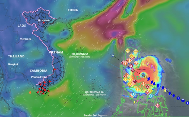
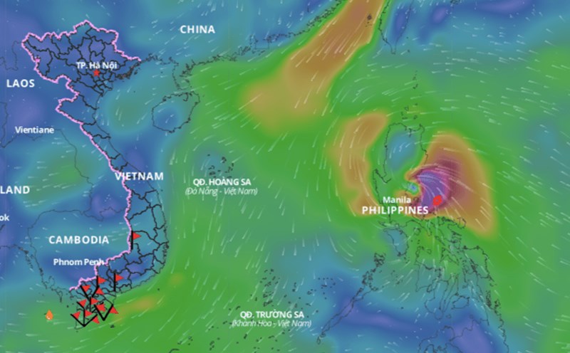
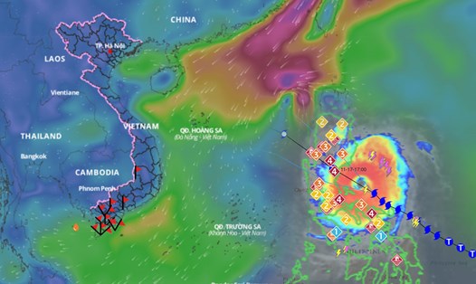
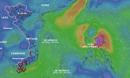
Latest update from the National Center for Hydro-Meteorological Forecasting, at 1:00 p.m. on November 17, the center of super typhoon Man-yi was at about 15.8 degrees north latitude; 122 degrees east longitude, on the southeastern coastal area of Luzon Island (Philippines). The strongest wind near the center of the super typhoon is level 16 (184 - 201 km/h), gusting over level 17. The super typhoon is moving northwest at a speed of 20 km/h.
It is forecasted that in the next 24 hours, Typhoon Man-yi will move northwest at a speed of about 25km/h, enter the East Sea and gradually weaken. At 13:00 on November 18, the center of the storm will be at about 18.5 degrees north latitude - 117 degrees east longitude; in the eastern sea of the North East Sea; about 640km east-northeast of Hoang Sa archipelago.
The strongest wind near the storm center is level 11 - 12, gusting to level 14.
It is forecasted that in the next 48 hours, Typhoon Man-yi will move northwest at a speed of about 15km/h, continuing to weaken. At 13:00 on November 19, the center of the storm will be at about 19.1 degrees north latitude - 113.5 degrees east longitude; in the North East Sea; about 380km north-northeast of Hoang Sa archipelago.
The strongest wind near the storm center is level 9, gusting to level 12.
It is forecasted that in the next 72 hours, storm Man-yi will move southwest at a speed of about 10 - 15 km/h, gradually weakening into a tropical depression. At 13:00 on November 20, the center of the tropical depression will be at about 17.5 degrees north latitude - 111.3 degrees east longitude; in the sea northwest of Hoang Sa archipelago.
The strongest wind near the center of the tropical depression is level 6 - 7, gusting to level 9.
From the next 72 to 96 hours, the tropical depression moves in a south-southwest direction, traveling 10km per hour, and continues to weaken.
Regarding the impact of storm Man-yi at sea, the sea area east of the North East Sea will have strong winds of level 6 - 7, then increasing to level 8 - 9, the area near the storm's eye will have level 10 - 13, gusting to level 15, waves 2 - 4m high, the area near the storm's eye will have 5 - 7m; the sea will be very rough.
Ships operating in the above mentioned dangerous areas are likely to be affected by storms, whirlwinds, strong winds and large waves.


