Updated from the National Center for Hydrometeorological Forecasting, the tropical convergence zone has an axis through the middle of the East Sea connecting with the low pressure area in the central region of the Philippines. The 13 o'clock hour is located at about 12.5 - 13.5 degrees north latitude, 121.5 - 122.5 degrees east longitude.
In the Gulf of Tonkin, the North of the East Sea and the middle of the East Sea (including the waters of the Hoang Sa archipelago), the Gulf of Thailand has showers and thunderstorms.
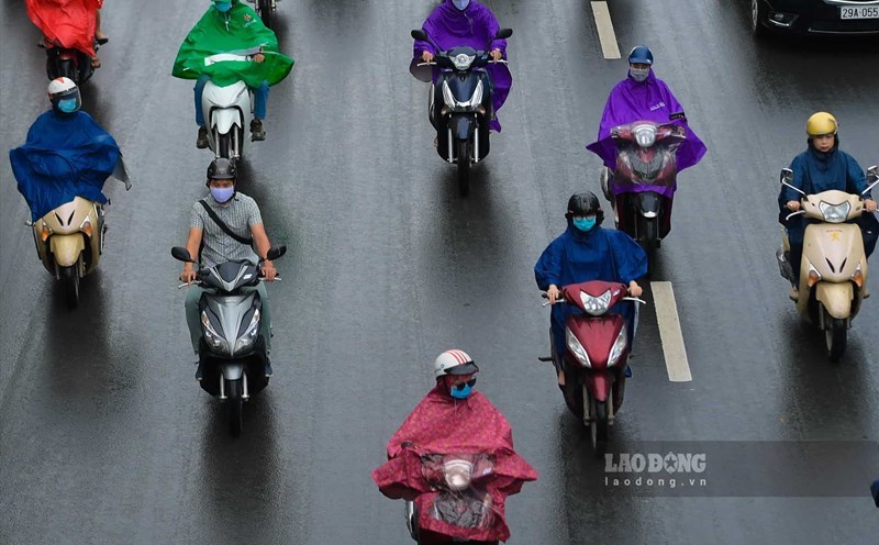
On the night of July 18 and July 19 , it is forecast that the sea area from Khanh Hoa to Binh Thuan, west of the South East Sea (including the west of the Truong Sa archipelago), will have strong winds at level 5, sometimes level 6, with gusts of level 7 - 8; rough sea.
In addition, the northern region of the East Sea, the middle and south of the East Sea (including the waters of the Hoang Sa and Truong Sa archipelagos), the Gulf of Tonkin, the waters from Binh Thuan to Ca Mau, Ca Mau to Kien Giang and the Thai Gulf Lan has showers and strong thunderstorms . During thunderstorms, there is a possibility of tornadoes and strong winds of level 7 - 8.
On the night of July 19 and July 20 , the sea area from Khanh Hoa to Binh Thuan, west of the South East Sea (including the west of Truong Sa archipelago) had strong southwest winds at level 5, sometimes level 6, gusting at level 7 - 8; Sea waves are 2 - 3m high; rough sea.
The low pressure area is likely to move into the East Sea and is likely to strengthen. Due to the influence of the tropical convergence zone connected to the low pressure area analyzed above, strong winds and large waves at sea will continue in the coming days.
The meteorological agency warns that the level of natural disaster risk due to strong winds at sea is level 2. All ships operating in the above areas are at high risk of being affected by tornadoes, strong winds and large waves.