In the context of increasingly complex climate change, strong storms, extreme rain, and hot sun occurring with increasing frequency and intensity, the need for people to access real-time meteorological information becomes more urgent than ever.
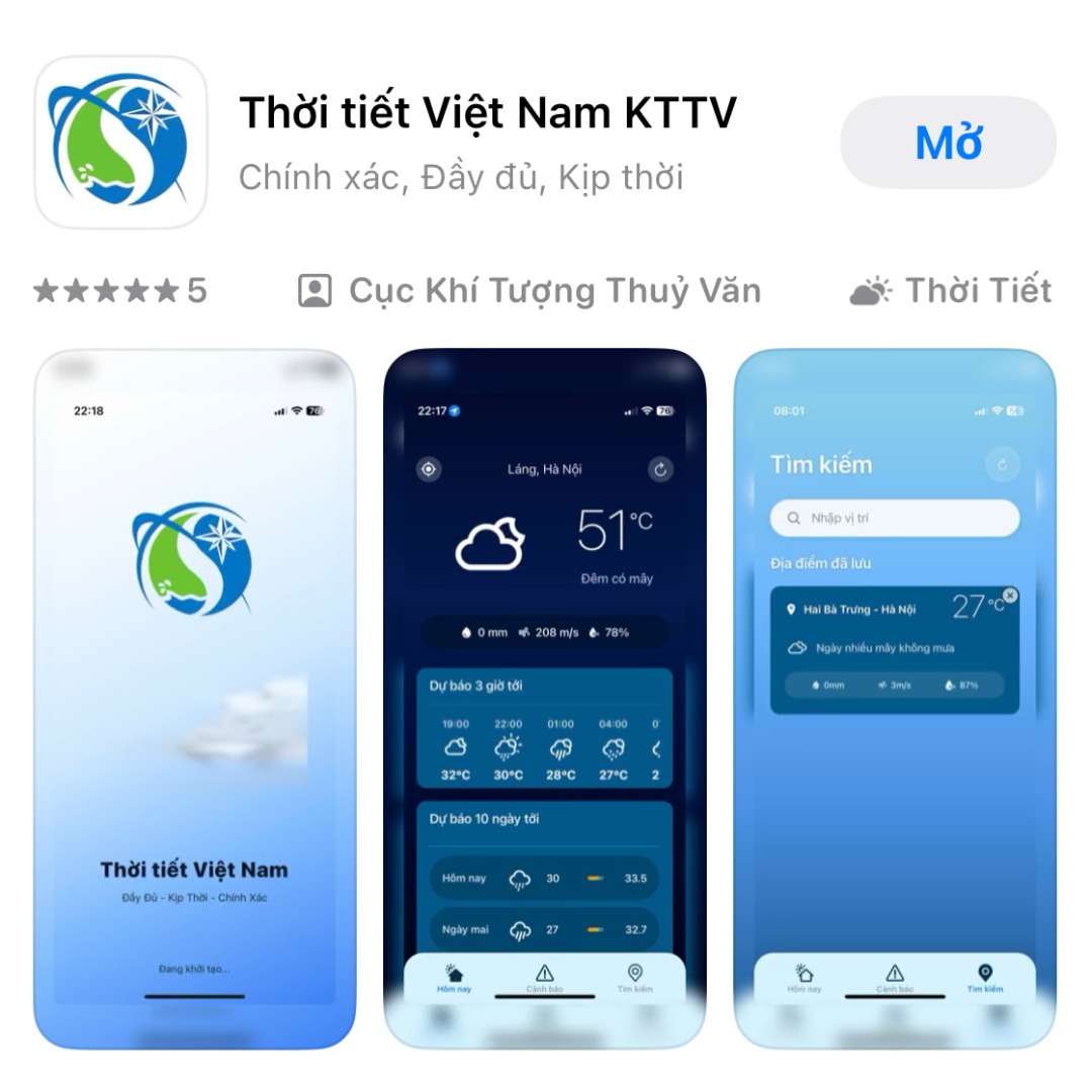
Therefore, the Department of Meteorology and Hydrology has just launched the mobile application Vietnam Weather KTTV - a technology product that brings meteorological information to every citizen.
Data over 2,600 monitoring stations nationwide
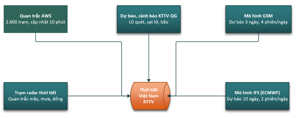
The system records field-time observation data from a network of more than 2,600 automatic rain gauge stations spanning the country. In particular, this data source is also optimized through rainfall estimation technology from 8 modern weather radar stations, allowing close monitoring of rain developments every minute. In addition, parameters on temperature, humidity, clouds and wind are also continuously updated, combined with advanced numerical models and official forecast and warning information from the National Center for Hydro-Meteorological Forecasting.
Users in Vietnam can receive weather information suitable to their actual location with a frequency of 10 minutes and a forecast horizon of up to 10 days.
Outstanding features
Share user location: As soon as you open the application, users are asked to share GPS locations to receive weather information at their location - including temperature, rainfall, wind speed, humidity and cloud status. All parameters are automatically refreshed every 10 minutes.
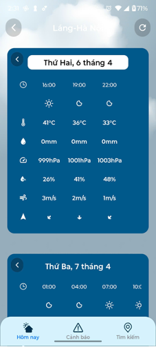
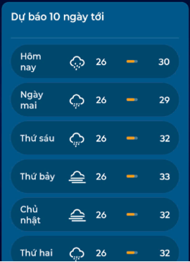
Weather forecast
The application provides detailed 10-day weather forecast information for points throughout Vietnam (updating).
Weather forecasts from numerical models run on the supercomputer system of the Department of Meteorology and Hydrology.
Dangerous hydrometeorological warning: The breakthrough highlight of the application lies in the disaster and dangerous weather warning system. Unusual weather developments - from widespread thunderstorms, lightning, landslides, flash floods, tropical depressions to strong winds at sea - are continuously updated from the official data source of the National Center for Hydro-Meteorological Forecasting and prioritize display right at the main interface.
In order to optimize user protection capabilities, the application has added a real-time thunderstorm warning feature. The system uses data from the lightning positioning network to detect areas with strong charge activity early, thereby providing timely notifications to help users proactively respond to all extreme weather situations.
In particular, the application has successfully integrated the feature to warn of flash floods and landslides in real time according to the user's location. Risk points are displayed by a symbol system (icon) according to specific geographical locations, clearly classified into 3 levels: medium, high and very high. With just one tap directly on the icon, users can immediately access detailed news bulletins along with specific action recommendations to ensure safety.
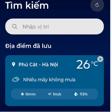
Search and save locations: The application supports users to easily look up weather in all communes and wards across the country through a smart search tool, integrating automatic suggestions. Users can save up to 10 favorite locations to update information regularly, suitable for personal usage needs.
The Department of Meteorology and Hydrology said it will continue to research, update, and supplement rain warning maps, storm warning maps and other products of the Department to diversify functions and meet higher needs of the community.


