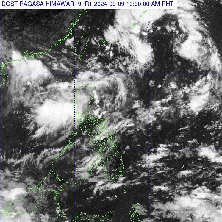
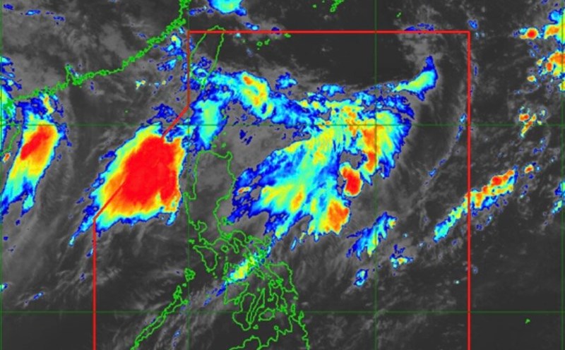
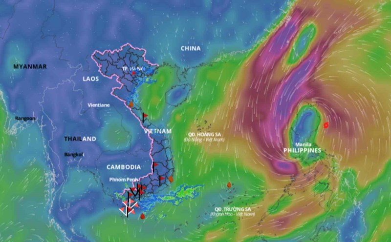
The latest storm and low pressure information from the Philippine Atmospheric, Geophysical and Astronomical Services Administration (PAPGASA) on September 9 said that the low pressure near the East Sea in northern Luzon could strengthen into a tropical depression.
According to PAGASA, the low pressure near the South China Sea is estimated to be 1,155 km east-northeast of Northern Luzon.
PAGASA typhoon forecaster Robert Badrina said the system will be named "Ferdie" when it enters the Philippines.
The southwest monsoon or habagat continues to affect the weather in parts of Luzon, including Ilocos, Apayao and Abra regions, with occasional rains forecast.
Low pressure near the South China Sea coupled with the southwest monsoon is expected to bring overcast skies, scattered rains and thunderstorms to Cagayan Valley, Central Luzon and other parts of the Cordillera region.

Previously, in its weather forecast bulletin on September 8, PAGASA informed that it was monitoring two low pressure areas outside the Philippines' forecast area: One low pressure area is northeast of Northern Luzon, while the other low pressure area is east of Mindanao.
PAGASA weather expert Grace Castaneda shared that when the low pressure near Luzon enters the Philippines' forecast area, it may slightly increase the southwest monsoon causing rain.
Castaneda also noted that a low pressure system near Mindanao is expected to affect Philippine weather, bringing heavy rain and wind this weekend.
Last week, Tropical Storm Enteng (international name Typhoon Yagi) caused landslides and floods that killed at least 20 people in the Philippines.
After sweeping through the Philippines, Typhoon Yagi entered the East Sea, strengthened into a super typhoon and caused severe impacts in China and Vietnam.


