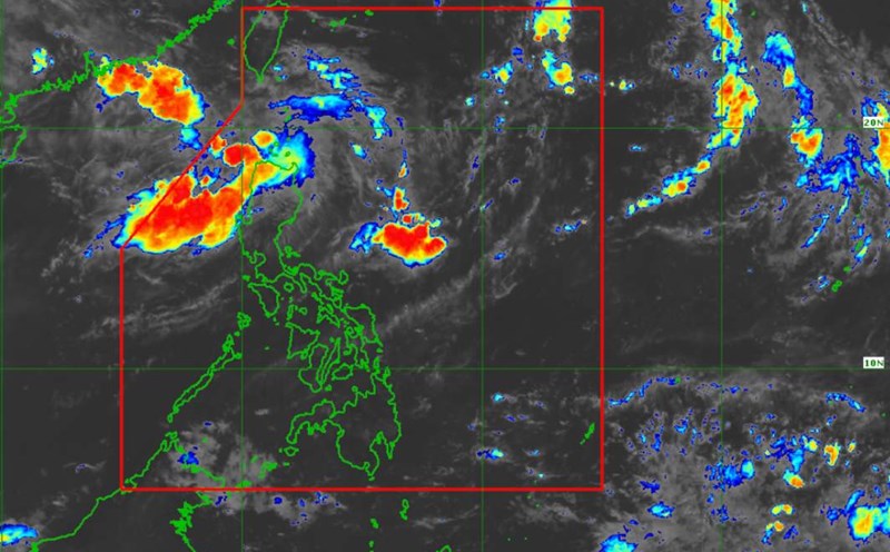
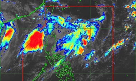
PAGASA's latest storm and low pressure information said that the low pressure area near the East Sea entering the Philippine forecast area (PAR) on the morning of September 8 is unlikely to strengthen into a storm within the next 24 hours.
However, PAGASA typhoon forecaster Verinoca Torres told GMA Integrated News that the Philippine weather agency does not rule out the possibility that the low pressure near the East Sea could strengthen into a storm.
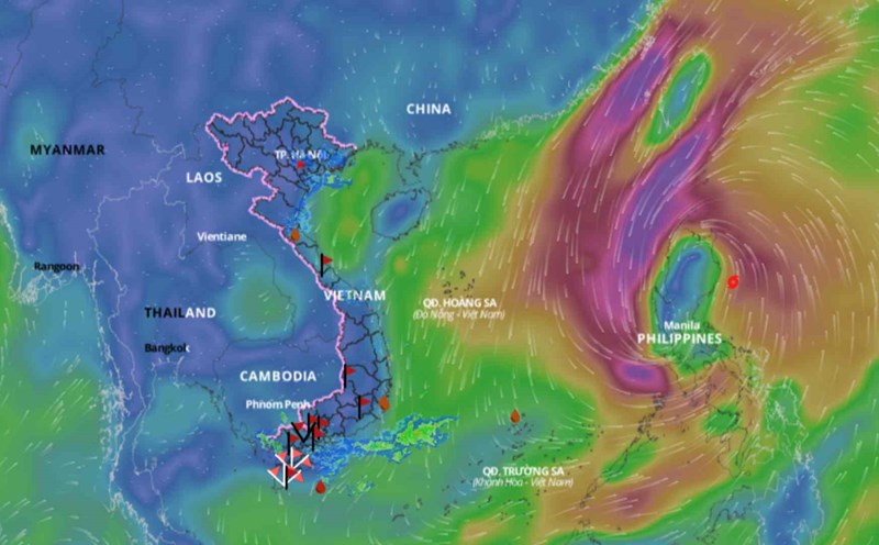
The newly formed low pressure system near the South China Sea was last located 1,340 km northeast of the northern tip of Luzon, Philippines. It is moving along the boundary of the Philippine forecast area.
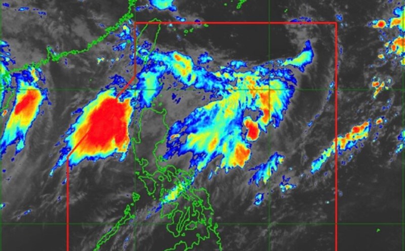
Storm forecaster Torres said that as the low pressure near the East Sea approaches northern Luzon, it could affect weather in the region.
Meanwhile, the southwest monsoon or habagat will bring rain to northern and central Luzon regions in the next 24 hours, PAGASA said in its weather forecast bulletin on the afternoon of September 8.
Cloudy skies with scattered rains and thunderstorms are expected in parts of Ilocos, Cagayan, Apayao, Abra and Zambales. Moderate to heavy rains may occasionally cause flash floods or landslides.
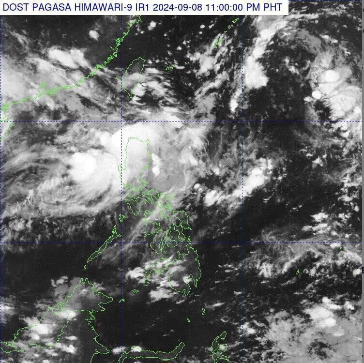
According to the latest storm and low pressure information from Rappler.com, the low pressure near the East Sea entered the forecast area of the Philippines at 8:00 a.m. on September 8. According to the Philippine news site, storm expert Verinoca Torres noted that on the afternoon of September 8, the low pressure near the East Sea only had a small chance of strengthening into a storm in the next 24 hours. However, after that period of time, the Philippine weather agency did not rule out the possibility of the low pressure near the East Sea strengthening into a storm.
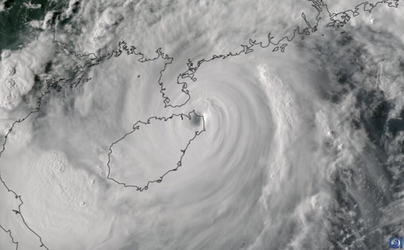
The next tropical storm to hit the Philippines will be locally named Ferdie. The previous storm Enteng (international name Yagi), which formed from a low pressure area near the South China Sea in early September, intensified into Super Typhoon Yagi in the South China Sea, causing severe impacts on the Philippines, China and Vietnam.
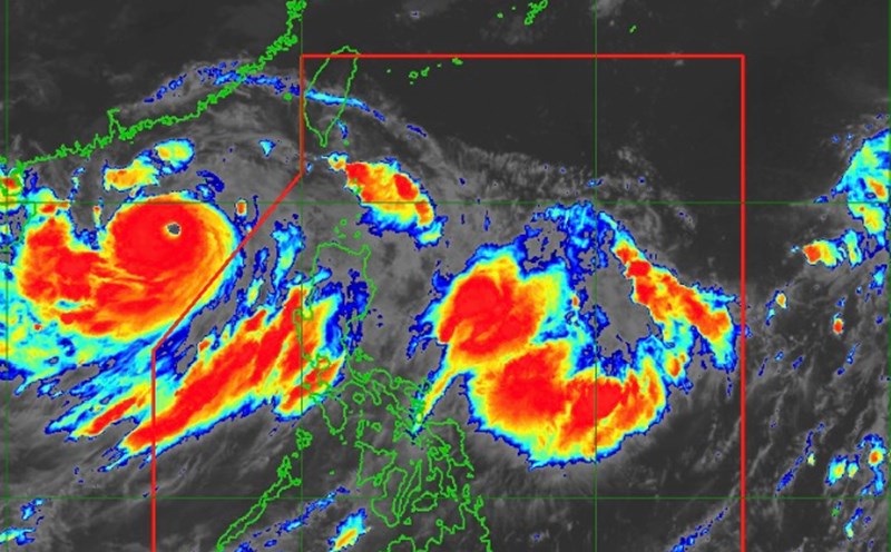
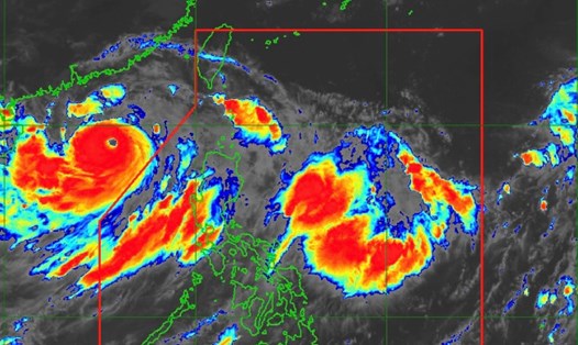
Meanwhile, the latest storm and low pressure information from the US Navy's Joint Typhoon Warning Center (JTWC) said that low pressure near the East Sea Invest 94W is operating in the Philippine Sea. JTWC forecasts that this low pressure is likely to strengthen into a storm in the next 24 hours starting from September 8.
The low pressure system near the East Sea currently has maximum sustained surface winds of about 25-35 km/h, and an estimated minimum sea level pressure of nearly 1,006 hPa. JTWC forecast models show that the low pressure system near the East Sea is expected to move northwest over the next 2 days. Here, this low pressure system will receive favorable conditions for strengthening, including wind shear at 30-35 km/h, favorable currents, and sea surface temperatures at 30-31 degrees Celsius.
The latest forecast from the Joint Typhoon Warning Center states that the low pressure near the East Sea will remain large in area and will slowly strengthen. Global forecast models show that the low pressure near the East Sea is likely to turn west and have gradually stronger winds.