Vinh Long Provincial People's Committee informed that the locality has 70,842 hectares of perennial crops, nearly 32,000 hectares of remaining 2024 Autumn-Winter rice, nearly 15,730 hectares of vegetables for the winter-spring crop that have been planted and 40,000 hectares of rice, 23,800 hectares of vegetables for the 2024-2025 Winter-Spring crop along with more than 1,950 hectares of aquaculture area under farming.
According to the plan to respond to rain, flood, high tide, and riverbank erosion, there are 2 scenarios: Scenario 1: In case of small flood, low high tide - approximately level III alarm, the water level at My Thuan station (Tien River side) reaches approximately 1.8m and at Can Tho station (Hau River side) reaches approximately 2m. Inland stations (Ba Cang, Phu Duc, Nha Dai, Tich Thien, Tan Thanh) are approximately 1.9m or lower; Tich Thien station is approximately 2m or lower. The time of occurrence is from the beginning of September to the end of December 2024. The total number of unsafe areas that can be flooded is 13, with an area of 2,425ha.
Scenario 2: In case of major floods, high tides exceed alert level III with water levels equivalent to the historical peak tide in 2022, the flood and inundation disaster risk level is level 2, the water level at My Thuan station (on Tien River) reaches approximately 2.17m and at Can Tho station (on Hau River) reaches approximately 2.27m. Inland stations (Ba Cang, Phu Duc, Nha Dai, Tich Thien, Tan Thanh) all exceed 2m. Occurrence time is from early September to the end of December 2024. The total number of unsafe areas is 64, with an area of 22,420 hectares.
The capital to implement the plan applies to scenario 2, in case of major floods, high tides exceeding alert level III with water levels equivalent to the historical peak tide in 2022, the level of flood and inundation disaster risk is level 2. The total capital to implement this plan is estimated at more than 1,100 billion VND (mainly integrated into the existing investment plan in 2024).
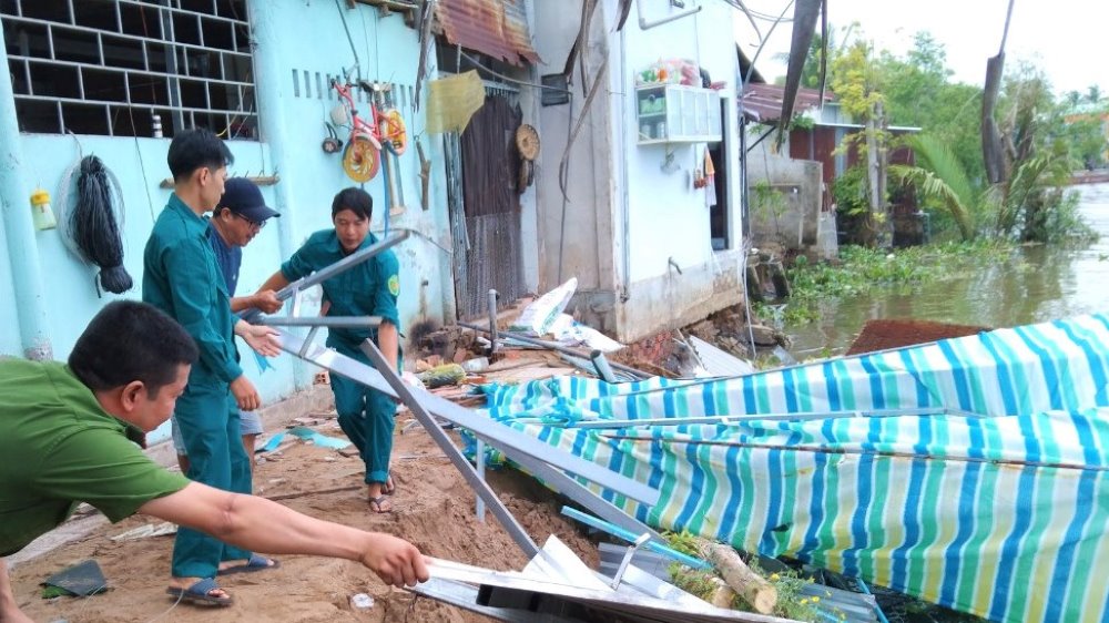
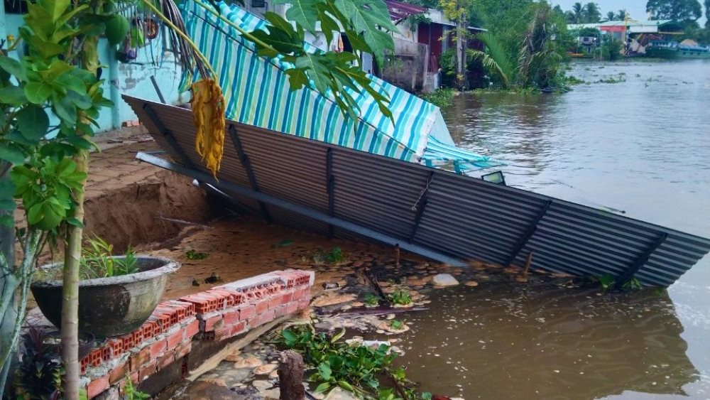
Since the beginning of the year, there have been 75 landslides and subsidence points/locations in the province. Although there has been a decrease compared to the same period last year (a decrease of 27 points/locations), it still caused the loss of 2,111m of riverbanks, canals, along with constructions and crops along the river, directly affecting 150 households, with an estimated loss of VND 4,782 billion (a decrease of VND 3,646 billion compared to the same period last year).
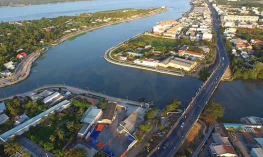
Through survey and assessment, the agricultural sector identified that in the province there are currently 8 areas that have suffered severe landslides and have a high potential for landslides that need attention, including the left bank of the Co Chien River (Long Ho district) and the Thanh Long islet area (Vung Liem district); on the Hau River, there are areas upstream and downstream of the Hai Quy canal (Binh Minh town), the market area of Tich Thien commune (Tra On district); Xang canal routes (Tra On district); Cai Cao river (Long Ho district); Mang Thit river (from Chanh An ferry to Mang Thit bridge in Vung Liem and Mang Thit districts) ... also at risk of severe landslides.
Through a review of the province, there are currently about 69 embankments/dykes, with a total length of 194,044m, protecting 11,430 hectares of agricultural land and residential land that are degraded and need to be invested in for repair in the coming time.