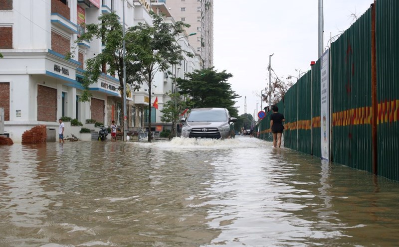
According to the report of the Traffic Infrastructure Maintenance Board (Hanoi Department of Construction), by the morning of the same day, the whole city recorded 23 flooded locations due to the impact of the storm's circulation. Of which, 14 locations are flooded but still open to traffic, while 9 locations are deeply flooded, vehicles cannot travel.
There is 1 flooded spot below 10cm; 4 flooded spots above 10 - 20cm; 6 flooded spots above 20 - 30cm; and 12 flooded spots above 30cm.
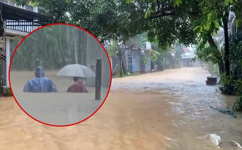
List of 9 deeply flooded locations where vehicles cannot move:
Road 423 (Trung Vo Bridge, Km3+164): Flooded 40cm deep.
Road 421B (Km11+300, Dong Yen Bridge): Flooded 30cm deep.
Thang Long Avenue (Km8+200): Flooded 40cm deep, vehicles cannot circulate.
Road 423 (Bridge 72 II, Km8+400): Flooded 30cm deep.
Mieu Nha Street (section on both sides of Nga Bridge): Flooded 60cm deep.
Road 35 (km0+350 section): Flooded about 80cm deep.
Road 16 (Km2): Flooded about 50cm deep.
The underpass for people living on the left dike of the Nhue River (Km4+944, Thang Long Avenue service road): Flooded 60cm deep.
Hong Ky - Bac Son road (Cau Chien section): Flooded about 1m deep.
The Road Maintenance Board said that it has directed road management contractors to continuously monitor the situation, arrange forces to be on duty, guide traffic flow and put up warning signs at flooded locations to ensure the safety of people during travel.