In the next 24-48 hours, the low trough will have an axis through the Northern region. The southwest monsoon operates with average intensity. At high altitude, subtropical high pressure tends to encroach on the West.
From 72 hours to 10 days, a low pressure trough with an axis through the Northern region remains. The southwest monsoon operates with average intensity. Above, the subtropical high pressure continues to encroach on the West and has a horizontal axis across the South Central - Southern region.
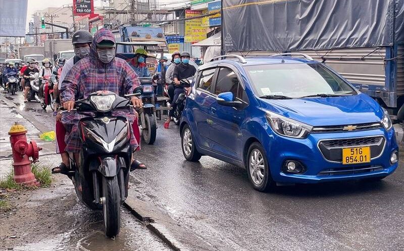
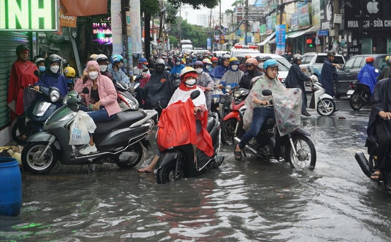
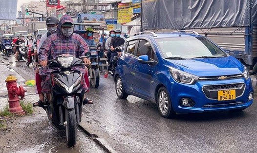
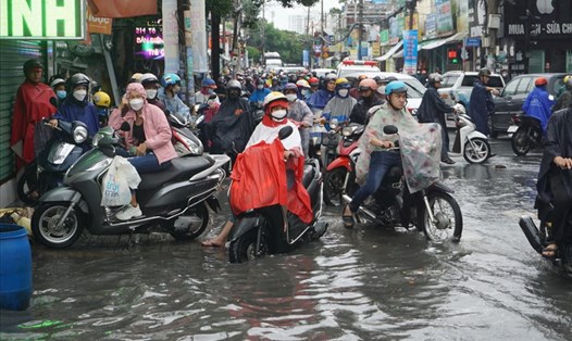
Therefore, the weather in Ho Chi Minh City and the Southern region has showers and thunderstorms, with some places having heavy rain with rainfall from 15-30mm, even over 80mm in some places.
Thunderstorms mainly appear in the afternoon and evening, with a probability of rain from 60 - 75%. During thunderstorms, there is a possibility of tornadoes, lightning and strong winds. Beware of the possibility of heavy rain causing local flooding.
At 1pm on July 28, the actual water level measured at Phu Hiep station was 105.32m (under alarm II, 0.18m); Ta Lai station (Dong Nai river) 112.10m (on alarm I is 0.10m).
In the next 24 hours, the water level at Phu Hiep station fluctuates at about 105.30-105.40m, at a level below alert II of 0.10-0.20m. Ta Lai station remained at about 112.05-112.15m above alarm I of 0.05-0.15m.
On the waters of Ho Chi Minh City, southwest winds have a common intensity of level 4-5. The weather at sea has scattered showers and thunderstorms. During thunderstorms, watch out for tornadoes and strong winds.