On the afternoon of February 13, in Ho Chi Minh City, thunderstorms are developing and causing rain with thunderstorms and lightning in Can Gio and Nha Be districts.
In the next 0 - 3 hours, thunderstorms will continue to develop, causing showers, accompanied by thunderstorms and lightning in the above districts, then expanding to other neighboring areas.
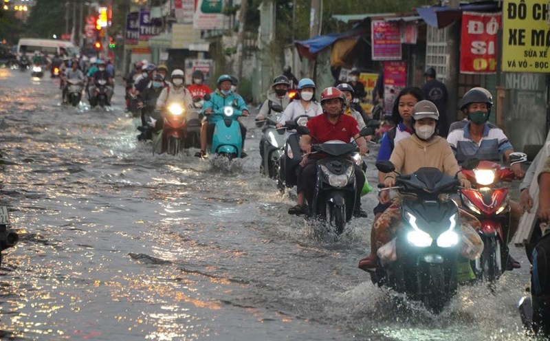
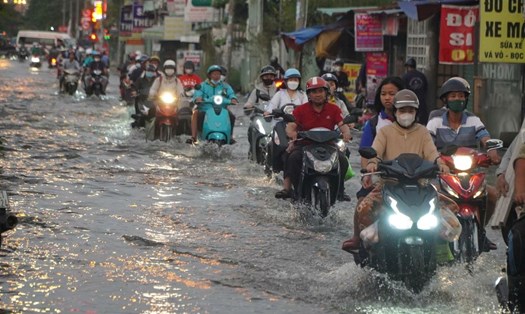
Rainfall is generally from 2-10mm, some places over 10mm. During thunderstorms, beware of strong gusts of wind around level 5-7 (8-17m/s), heavy rain causing localized flooding.
Weather forecast for the next 24-48 hours, the continental cold high pressure will be weakened and shift to the East again, then stabilize.
The equatorial low pressure trough with its axis at about 11-13 degrees North latitude connects with the tropical low pressure in the central East Sea area moving in a northwest direction. Above, the subtropical high pressure with its axis over the Central region operates stably.
Weather forecast for the coming days, the continental cold high pressure will gradually weaken. Around the night of February 15-16, the continental cold high pressure will likely strengthen and shift to the East again, then stabilize and gradually weaken.
Above, the subtropical high pressure with an axis through the Central region is operating stably. The tropical low pressure moves in a northwest direction and gradually weakens.
The active equatorial low pressure trough weakens and fades away. The upper easterly disturbance becomes more active from around February 18-20.
Therefore, the weather in the South has scattered showers and thunderstorms in some places; in the East, there are scattered showers and thunderstorms in some places, with heavy rain in some places.
Regarding high tides, water levels at most stations in the lower reaches of the Saigon - Dong Nai River will rise slowly in the coming days. The peak tide of this period will appear on February 14-15.