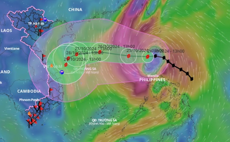
Afternoon of July 29, on satellite cloud images, weather radar images, lightning positioning showed thunderclouds developing causing showers and accompanied by thunderstorms, lightning in the areas of Ho Chi Minh City, Dong Nai, Ba Ria - Vung Tau, Binh Phuoc.
In the coming hours, thunderclouds will continue to develop and cause showers accompanied by thunderstorms and lightning in the aforementioned areas, then the thunderclouds tend to expand and spread to other neighboring areas.
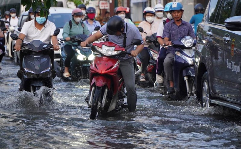
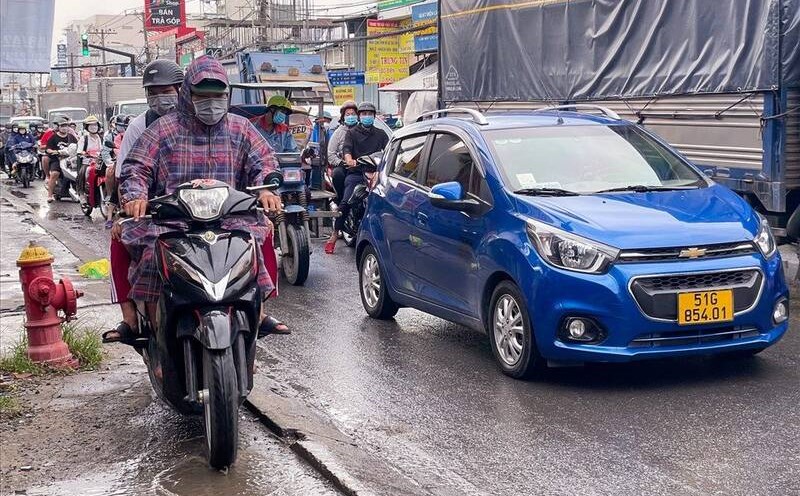
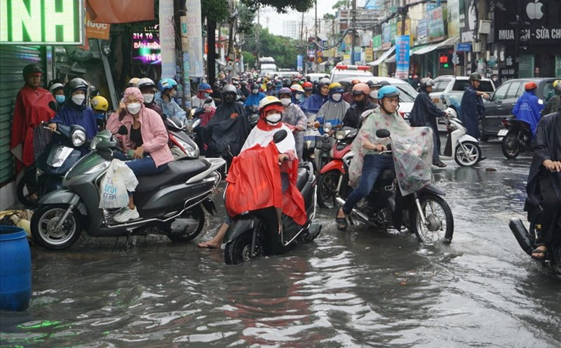
Rainfall is generally from 5-20mm, with some places over 20mm. During thunderstorms, beware of tornadoes, lightning, hail, strong winds of level 5-8 (8-21m/s).
In the next 24-48 hours, a low trough will be present across the Northern region. The Southwest monsoon will be active with moderate intensity. At high altitude, the subtropical high pressure tends to extend westward.
From 72 hours to 10 days, the low trough across the Northern region will persist. The Southwest monsoon will be active with moderate intensity.
At high altitude, the subtropical high pressure continues to extend westward and has a horizontal axis across the South Central - Southern region.
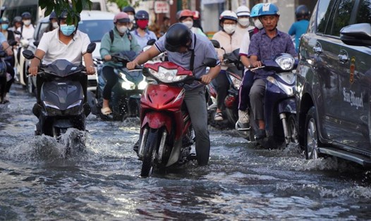
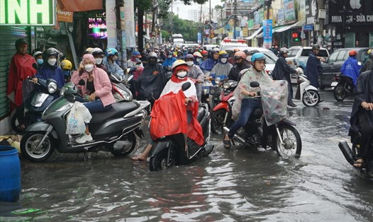
Therefore, the Southern region will have scattered showers and thunderstorms, with reduced rainfall. Locally, there may be heavy rain with rainfall from 10-30mm, locally over 70mm, concentrated in the afternoon and evening. During thunderstorms, there is a possibility of tornadoes, lightning, and strong winds. Beware of the possibility of heavy rain causing localized flooding.