Weather forecast for the next 24-48 hours, the continental cold high pressure will strengthen and shift to the East. Above, the subtropical high pressure with an axis through the North will operate stably, after the trend of encroaching on the West.
In the southern sea, there will be light winds, from October 15, the wind will shift to the Northeast and operate at weak intensity. High-altitude easterly wind disturbances exist.
Weather forecast for the next 3-10 days, the continental cold high pressure will continue to strengthen and shift to the East, then have a stable intensity; about the last 3-4 days, it is likely to strengthen again.
Above, the subtropical high pressure will continue to encroach on the West, from around October 18-19, it is likely to weaken and lift its axis to the North.
In the southern sea, the Northeast wind will operate at weak intensity. Around October 17-19, the high-altitude wind convergence will operate well.
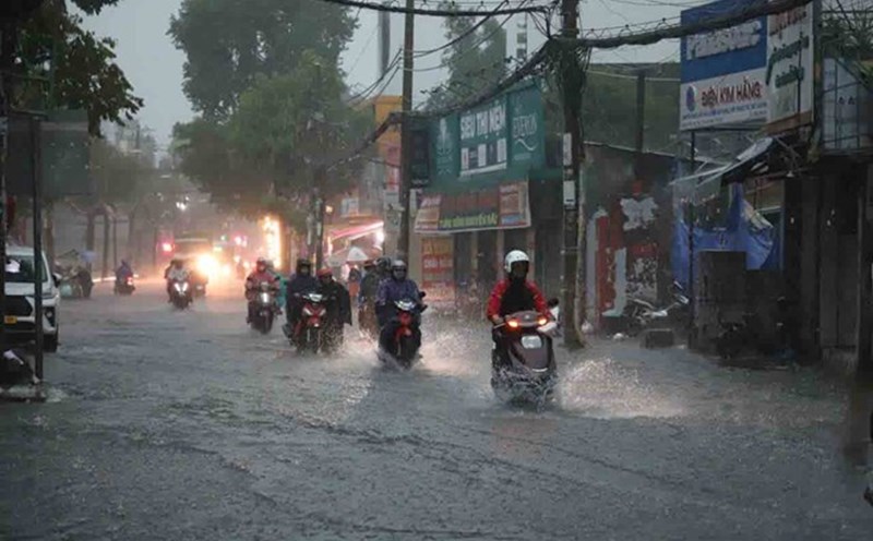
Therefore, the Southern region will have scattered showers and thunderstorms (rain concentrated in the afternoon and evening). From October 16 onwards, the probability of thunderstorms will increase again.
Beware of thunderstorms accompanied by dangerous weather phenomena such as tornadoes and strong gusts of wind affecting agricultural production, breaking trees, damaging houses, traffic works, and infrastructure.
Heavy rain causes flooding in urban areas with poor drainage capacity, affecting traffic, flooding in low-lying areas affecting crops.