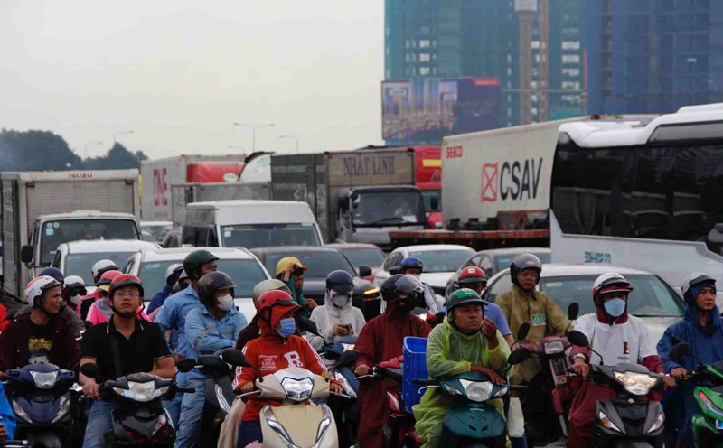
On September 7, Ho Chi Minh City and neighboring provinces will have widespread thunderstorms. In the afternoon and night of September 7, the Southern region will continue to have showers and scattered thunderstorms, locally heavy rain, common rainfall of 10-30 mm, locally over 80 mm.
Weather forecast for the next 24-48 hours, the tropical convergence zone with an axis through the Central Central region will connect with the tropical depression gradually moving to the North.
Above, the subtropical high pressure in the southern branch weakens and retreats to the East. The southwest monsoon has an average intensity.
Weather forecast for the next 3-10 days, the tropical convergence zone with an axis through the Central Central region will gradually lift its axis to the North, connecting with the storm in the Northeast of the East Sea. From around September 9, the storm is likely to make landfall in mainland China and gradually weaken.
Above, the subtropical high pressure in the southern branch is weak, gradually encroaching on the West from September 8 and having an axis through the Southern region, then gradually rising to the North. The southwest monsoon has an average intensity. Around September 12, a low pressure trough with an axis through the Southern region was established.
Therefore, in the next 1-2 days, the weather in the Southern region will have moderate rain and scattered thunderstorms, with some places having heavy to very heavy rain.


