Weather forecast for the next 24-48 hours, the tropical convergence zone with an axis through the Central region connects with the low pressure area over the North East Sea and the low pressure area in the East of the Philippines (operating gradually).
The southwest monsoon will operate at medium intensity. Above, the subtropical high pressure in the southern branch slowly lifts its axis to the North, passing through the Southern region and encroaching on the West.
Weather forecast for the next 3-10 days, the tropical convergence zone with an axis through the Central region will gradually strengthen and slowly lift the axis to the North. It is likely that the low pressure area in the eastern Philippines will strengthen into a tropical depression/storm, moving northwest to the eastern and northeastern areas of the North East Sea until September 9-10, then weakening.
Above, the subtropical high pressure in the northern branch with an axis over southern China encroaches on the West. The southwest monsoon will operate at medium intensity.
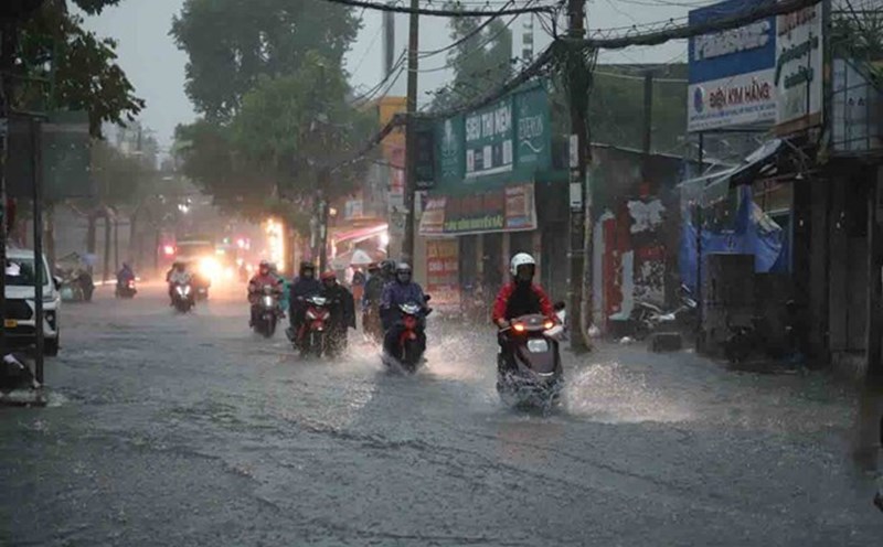
Therefore, in the next 3 days, the Southern region will have scattered showers and thunderstorms, locally heavy rain, rainfall of 10-30 mm, locally over 70 mm.
Beware of heavy rain causing localized flooding in low-lying areas and landslides along rivers. Thunderstorms accompanied by dangerous weather phenomena such as tornadoes, hail and strong gusts of wind affect agricultural production, break trees, damage houses, traffic works and infrastructure.