Weather forecast for the next 24-48 hours, cold continental high pressure will strengthen in the North and North Central regions. Northeast wind will gradually increase in intensity and will range from weak to moderate.
Above, the subtropical high pressure system with an axis over the North is operating stably. Super typhoon Man-Yi in the central Philippines is moving towards the Northeast of the East Sea.
From the next 72 hours, the continental cold high pressure will continue to strengthen further to the South. Around November 20-21, this strengthening of cold air will begin to affect the weather in the South and Ho Chi Minh City.
This is likely to be the strongest impact of cold air on the weather in the South and Ho Chi Minh City since the beginning of the Northeast monsoon season. Also between November 19 and 22, there is a possibility of disturbances in the East wind zone moving into the area, increasing the probability of rain.
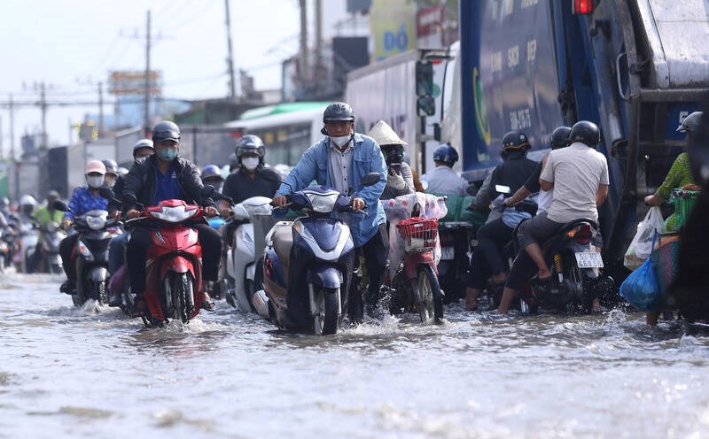
Regarding high tides, water levels at most stations in the downstream of the Saigon - Dong Nai River are likely to fall slowly in the next 1-2 days, then fall rapidly. The highest daily tide peak at or above alert level I will remain until the end of November 21.


