Weather forecast for the next 24-48 hours, the continental cold high pressure continues to weaken and gradually move east. Above, the subtropical high pressure with an axis over the North is stable. The northeast wind is weak to moderate. Storm No. 8 moves slowly westward and gradually weakens.
From 72 hours, the continental cold high pressure will continue to weaken until November 17 and 18, then strengthen again in the North of our country and diffuse to the South. Above, the subtropical high pressure has an axis through the North. The Northeast wind will be weak to moderate and will quickly strengthen between November 18 and 20.
Therefore, in the next 2-3 days, the weather in the South will have a tendency to decrease rain, changeable clouds, sunny days, showers and thunderstorms in the evening and in some places. During thunderstorms, there is a possibility of tornadoes, lightning and strong gusts of wind.
Regarding high tides, water levels at most stations in the downstream of the Saigon - Dong Nai River will continue to rise for another 2-3 days following the high tide on October 15 (Lunar calendar), then fall again.
The highest tide during this period may appear on November 16-17.
Phu An station and Nha Be station are at about 1.70-1.75 m, 0.10-0.15 m higher than alarm level III. Peak tide time is from 4-6am and 4-6pm.
Bien Hoa station is at about 2.00-2.10 m, approximately 0.10 m higher than alarm level II.
Thu Dau Mot station is at about 1.75-1.80 m, 0.15-0.20 m higher than alarm level III.
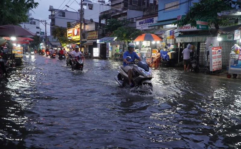
This is a high tide period, likely to cause flooding in low-lying areas and riverside areas, affecting traffic and socio-economic activities in the Ho Chi Minh City area.


