Weather forecast for the next 24-48 hours, the continental cold high pressure will continue to weaken and move to the East, by November 1, it will strengthen again in the North of our country.
The low pressure trough with axis through the Central Central region remains. In the Southern sea areas, the West to Southwest wind is moderate to weak.
From 72 hours, the continental high pressure continued to strengthen weakly, until November 4-5, it strengthened to the North of our country, then gradually encroached to the South. The low trough through the Central region was gradually compressed to the South, through the South connecting with the gradually strengthening disturbance area in the area north of Truong Sa archipelago.
Above, the subtropical high pressure has an axis across the North, around November 5-6, with a tendency to encroach on the West. In the South Sea from November 2, the wind will shift to the Northeast and gradually increase in intensity.
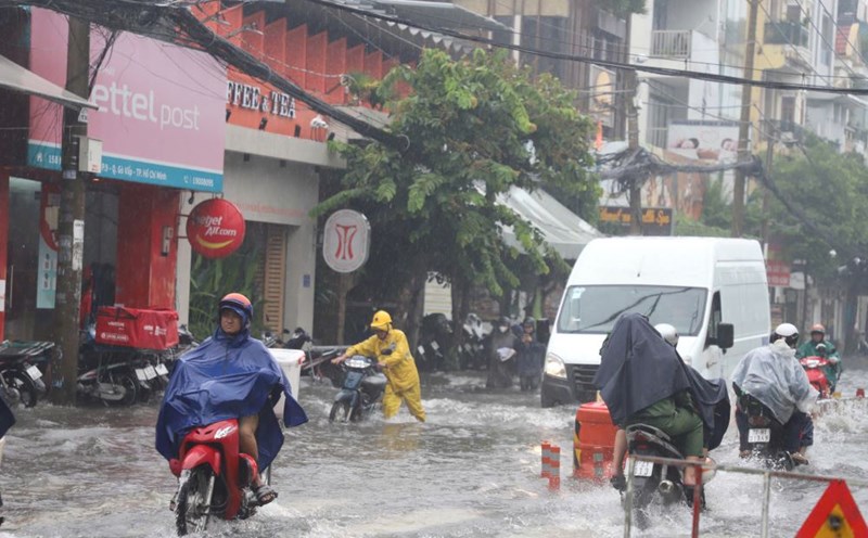
Therefore, from November 1, the probability of rain in the South will increase again. During thunderstorms, there is a possibility of tornadoes, lightning and strong gusts of wind. Beware of the possibility of heavy rain causing localized flooding in low-lying areas and areas with poor drainage capacity.
Regarding high tides, water levels at most stations in the downstream of the Saigon - Dong Nai river system have been slowly decreasing over the past 24 hours. The peak tide is likely to occur on November 2-3.


