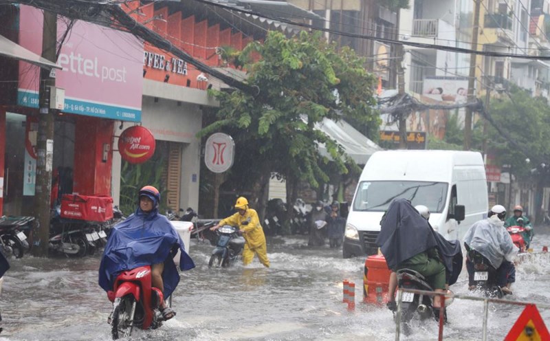
On the afternoon of October 28, convective clouds continued to develop, causing rain in the provinces of Tay Ninh, Binh Duong, Kien Giang, An Giang, Can Tho City, Soc Trang, Dong Thap, Vinh Long, Tien Giang, Long An, Ben Tre, Ho Chi Minh City, Dong Nai...
Over the next 4 hours, these convective clouds will continue to cause rain, showers and thunderstorms in the above areas, and may also spread to neighboring areas. Thunderstorms may include tornadoes, lightning, hail and strong gusts of wind.
The thunderstorms are caused by weak continental cold high pressure. The tropical convergence zone has an axis through the Central Central region. The southwest wind has medium intensity.
Weather forecast for the next 24-48 hours, the cold continental high pressure in the northern region of our country continues to weaken. The tropical convergence zone with an axis through the Central Central region gradually weakens. In the southern sea areas, the West to Southwest winds are of medium intensity.
On November 1-2, the continental high pressure will strengthen again in the North of our country, and on November 4-5, it will continue to strengthen. The tropical convergence zone will gradually weaken. In the Southern seas, the West to Southwest winds will gradually decrease in intensity. From November 2, it will change direction to Northeast and gradually strengthen to level 5-6.
Therefore, rain will continue in the Southern region. In the next 2-3 days, the rain will gradually decrease, with intermittent sunny days.
Regarding high tides, water levels at most stations in the downstream of the Saigon - Dong Nai river system have risen slowly over the past 24 hours. The peak tide is likely to occur on November 2 and 3.


