Weather forecast for the next 24-48 hours, the tropical convergence zone with an axis through the North connecting with storm No. 02 in the North East Sea area tends to lift its axis to the North, then gradually weaken.
The southwest monsoon in the South will operate at medium intensity. Above, the subtropical high pressure in the southern branch will have an axis over the South, encroaching slightly to the West and gradually lifting the axis to the North.
From July 9-10, the low pressure trough crossing the North tends to be re-established and compressed to the South and gradually filled due to the impact of a part of the increase in pressure from the north moving down.
The southwest monsoon will operate at an average intensity, from July 10-12, it will increase slightly, then gradually decrease.
Above, the subtropical high pressure in the southern branch will encroach to the west and gradually lift its axis to the north through the South - South Central region, then weaken and lower its axis to the south, around July 12, it will encroach to the west again, gradually lift its axis to the north, crossing the South Central region.
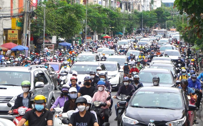
Therefore, from July 6-8, the Southern region will have rain in many places, with some places having moderate to heavy rain.
During thunderstorms, it is necessary to be on guard against tornadoes, lightning, gusts of wind, hail that can endanger people and property damage; be on guard against heavy rain and localized heavy rain that can cause deep flooding on some roads in the central area of Ho Chi Minh City.