Weather forecast for the next 24-48 hours, the equatorial trough with an axis at about 7-9 degrees North latitude will join with the wind convergence forming offshore in the Southern sea area, tending to move to the West. The southwest monsoon is weak.
Above, the subtropical high pressure with an axis through the South tends to lift its axis to the North through the Central region encroaching on the West.
Weather forecast for the next 3-10 days, establish a new low pressure trough with an axis through the Central region, gradually strengthen into a tropical convergence zone connecting with the disturbance area formed in the South - Central East Sea and tending to strengthen and the low pressure area in the East of the Philippines.
The southwest monsoon will be weak, from September 14-15 onwards the wind will gradually strengthen. Above, the subtropical high pressure with an axis through the Central region tends to lift its axis northward through the North and encroach on the West.
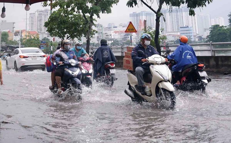
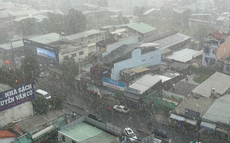
Therefore, from now until September 14, the South will have clouds changing to cloudy, with intermittent sunshine during the day, showers in many places in the afternoon and evening, scattered thunderstorms, some places have moderate rain, heavy rain 10-30 mm, some places over 80 mm.