The low pressure trough over the North will weaken and fade. Around September 12, a low pressure trough will be established with an axis through the South and will gradually become stronger. The southwest monsoon will be weak to moderate.
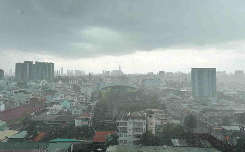
Subtropical high pressure with an axis through the Central region tends to lift its axis to the North through the North and encroach on the West. At around September 15-16, the axis will gradually decrease to the South, weakening and retreating to the East. Around September 17-18, a low-lying area will form in the central and southern East Sea and is likely to move towards the mainland, affecting the weather in the southern provinces.
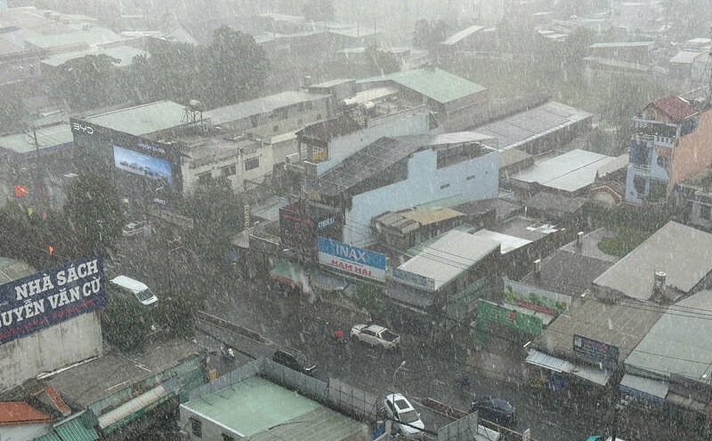
From September 11-14, the South will have clouds changing to cloudy, with intermittent sunshine during the day, showers in many places in the afternoon and evening, scattered thunderstorms, some places have moderate to heavy rain. Scattered showers and thunderstorms at night. The highest temperature is commonly 30-33 degrees Celsius, the lowest temperature is 24-26 degrees Celsius.
From September 15-16, the clouds will change, sunny days, sometimes interrupted, scattered showers and thunderstorms in the afternoon and evening, some places will have moderate to heavy rain. Night with showers and thunderstorms in some places. The highest temperature is generally 31-34 degrees Celsius, the lowest temperature is 25-27 degrees Celsius.
From September 17-20, cloudy, with occasional less cloudy days and light sunshine, showers and thunderstorms in many places in the afternoon and evening, scattered moderate rain, and heavy rain in some places. Scattered showers and thunderstorms at night. The highest temperature is generally 29-32 degrees Celsius, the lowest temperature is 24-26 degrees Celsius.
During thunderstorms, it is necessary to be on guard against tornadoes, lightning, hail and strong gusts of wind that can endanger people and property damage, and be on guard against localized heavy rain that can cause flooding on some roads in the city center.