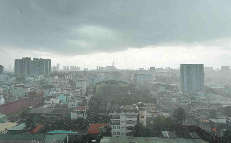
On September 9, many places in Ho Chi Minh City had heavy rain with thunderstorms over a wide area such as Tan Phuoc, Tan Hai, Phu My, Cat Lai, Xuan Hoa, Dien Hong wards...
The Southern Hydrometeorological Station forecasts that in the next few hours, thunderstorms will continue to develop, causing showers with thunderstorms and lightning in the above areas, then expanding to areas with elephants.
Rainfall is forecast to be generally from 6-30 mm, in some places over 40 mm. During thunderstorms, it is necessary to be on guard against tornadoes, hail and strong winds of level 5-7 (8-17 m/s), heavy rain causing local flooding.
Weather forecast for the next 24-48 hours, the tropical convergence zone with an axis through the North Central region connecting with the low pressure area weakened by storm No. 7 continues to slowly lift the axis to the North.
Above, the subtropical high pressure in the southern branch continues to encroach on the West, with an axis through the South. The southwest monsoon tends to weaken.
Weather forecast for the next 3-10 days, the tropical convergence zone will continue to gradually lift its axis to the North and gradually weaken. Above, the subtropical high pressure in the southern branch continues to encroach on the West and has an axis through the Southern region, then gradually lifts the axis to the North.
The southwest monsoon is weak. Around September 12-13, a low pressure trough with an axis through the Southern region was established in combination with weak wind disturbances above.
Therefore, the Southern region will have showers and thunderstorms, locally heavy rain 15-30 mm, some places over 80 mm (rain concentrated in the afternoon and evening).