On the morning of September 16, through monitoring satellite cloud images, weather radar images, and lightning positioning, it was shown that thunderstorms were developing, causing showers and thunderstorms in the provinces of Ca Mau, An Giang, Dong Nai, Binh Duong, Tay Ninh, and Binh Phuoc.
In the coming hours, thunderstorms will continue to develop and cause showers with thunderstorms and lightning in the above areas, then thunderstorms will tend to expand and spread to other neighboring areas.
Rainfall is generally from 5-25mm, some places over 30mm. During thunderstorms, beware of tornadoes, lightning, hail, strong gusts of wind level 5-8 (8-21m/s), heavy rain causing localized flooding.
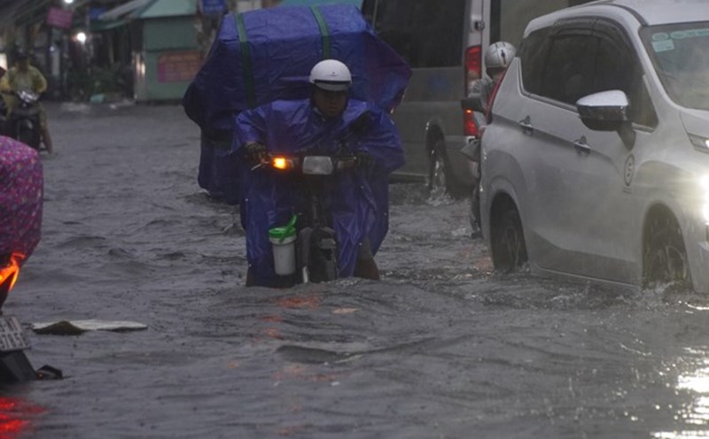
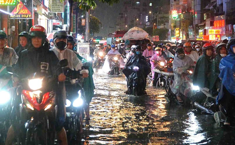
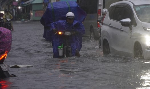
In the past 24 hours, the Southern region has had scattered showers and thunderstorms, with some places experiencing moderate to heavy rain. In Cai Nuoc - Ca Mau 67.0mm, Dong Ban - Tay Ninh 64.4mm, An Ninh - Kien Giang 85.8mm, Dau Tieng Lake - Tay Ninh 51.8mm, Long Dien Tay - Bac Lieu 36.4mm...
Weather forecast for 24-48 hours, the tropical convergence zone with axis through the Central region is moving towards stronger activity. The Southwest monsoon in the Southern region is gradually becoming stronger.
From 72 hours to the 10th day, the tropical convergence zone passing through the Central region is active. The southwest monsoon is active. Above, the subtropical high pressure encroaches on the West after stable activity.
From 24-48 hours, the Southern region will have moderate rain, heavy rain, and locally very heavy rain, with heavy rain concentrated in the afternoon and evening. Beware of heavy rain causing localized flooding. The heavy rain is likely to last until around September 19-20.