
According to Lao Cai Provincial Hydrometeorological Station, in the early afternoon of July 22, many convective cloud areas developed strongly in the area, causing showers and thunderstorms in some areas.
At the same time, convective cloud areas from Tuyen Quang province continue to move towards Lao Cai, increasing the risk of extreme weather phenomena.
Forecast for the next 3 hours, convective clouds will continue to develop and expand, causing showers, locally heavy to very heavy rain with thunderstorms, lightning and strong gusts of wind over a wide area.
Areas likely to be affected include Ban Lau, Ban Lien, Ban Xeo, Bao Ai, Bao Ha, Bao Nhai, Bao Thang, Bat Xat, Cam Duong, Cao Son, Chau Que, Coc Lau, Coc San, Dong Cuong, Gia Phu, Hop Thanh, Khao Mang, Lao Cai, Lao Chai, Lam Giang, Lien Son, Mau A, Muong Khuong, Nghia Do, Nghia Lo, Ngu Chi Son, Pha Long, Phong Hai, Phuc Loi, Si Ma Cai, Sin Cheng, Thac Ba, Thuong Ha, Tran Yen, Trung Tam, Van Ban, Vo Lao, Xuan Quang, Yen Binh, Yen Thanh and many neighboring communes and wards.
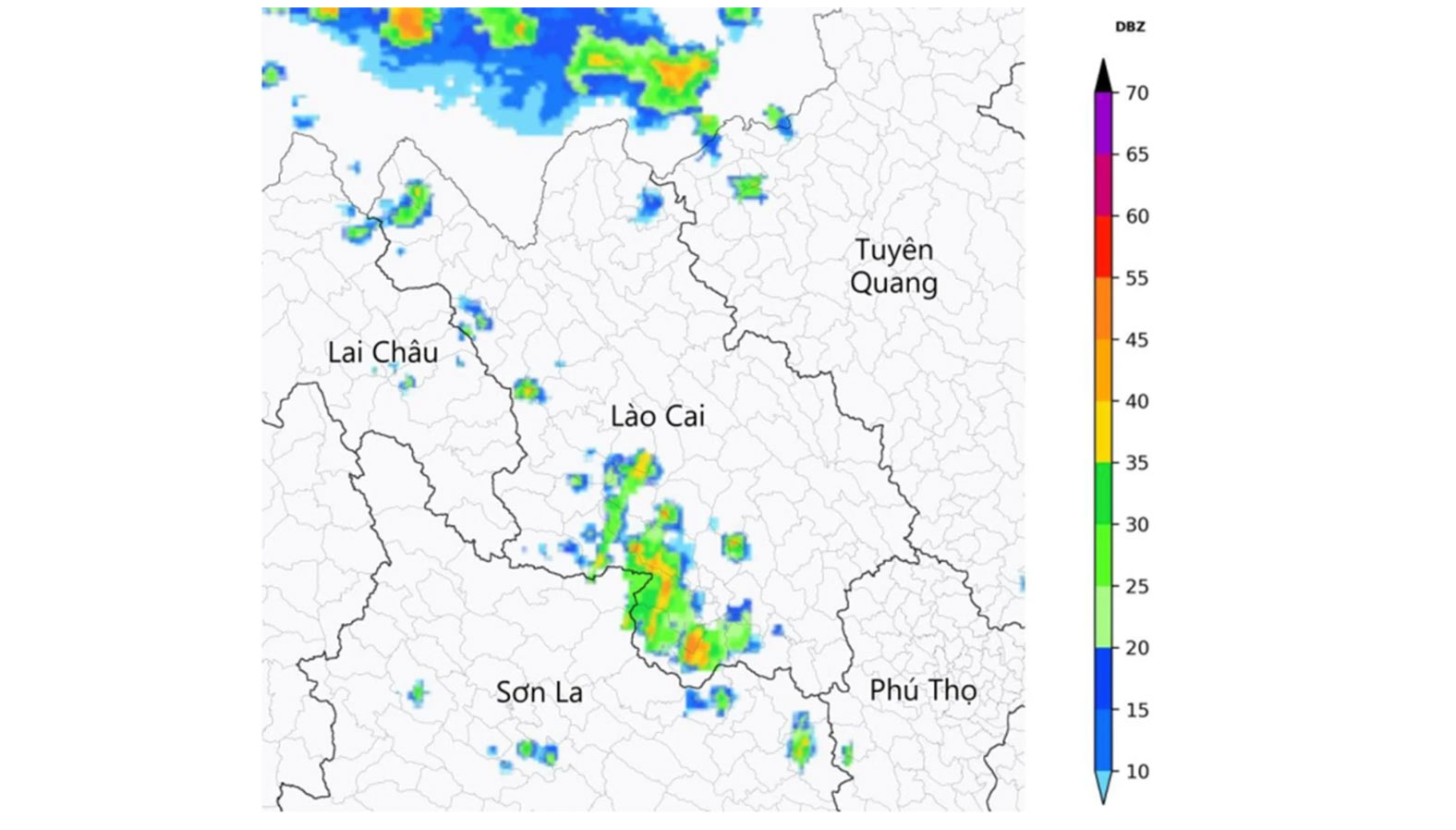
The meteorological agency warns that during thunderstorms, tornadoes, lightning, hail and strong gusts of wind may appear, posing a risk of breaking trees, damaging houses, traffic works, technical infrastructure and affecting people's safety.
The level of natural disaster risk due to tornadoes, lightning and hail is determined at level 1.
Faced with complicated weather developments, the meteorological sector recommends that people regularly follow weather forecasts and warnings; limit outdoor activities, do not shelter from rain under trees or near power poles when thunderstorms occur, and proactively take measures to protect people and property to minimize damage caused by natural disasters.


