From the Pu Huoi Luong range (Na Tau commune) at an altitude of over 2,100m, where there used to be many lát trees, the Nam Rom River begins its journey through mountains and forests and then goes down to Muong Thanh valley.
According to the language of the Thai people, "Nam" is water, "Rom" is slat wood, so Nam Rom is also understood as "slat river".
Over hundreds of years, the river has witnessed countless ups and downs of the Dien Bien borderland.

From Ta Po village, Nam Rom flows through Pa Nam, meets the Nam Nua River and continues down to the West, to Laos, merges into Nam U and finally flows into the Mekong River.
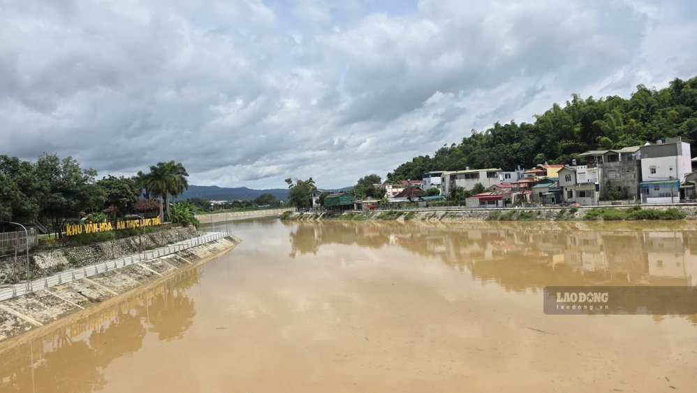
Today, Nam Rom still quietly flows in the middle of Muong Thanh basin, but the appearance of both banks has changed a lot.
From ancient times, Nam Rom was wide and deep, enough for merchant boats from Thailand, Laos, and Burma to follow the Mekong - Nam U river to Muong Thanh for trade. The river at that time was both a trade route and of military significance.
During the uprising of General Hoang Cong Chat, the insurgents had a well-trained naval team. Ban Phu Citadel's gate was opened to the Pa Nam intersection area, where the riverine terrain was used for defense and organization of naval battles.
Later, during the years of the Dien Bien Phu campaign, Nam Rom continued to witness fierce battles. That water flow passed a period when so many outstanding children of the nation fell for independence and freedom.
In the afternoon of May 7, 1954, soldiers of Company 360, under Division 312, advanced across Muong Thanh bridge, opening the way to directly attack the French headquarters and captured General De Castries alive. The victory that "stirred up the five continents and shook the earth" later became a special milestone in the nation's history.
Therefore, for the people of Dien Bien, Nam Rom is not just a natural river. It is also a part of the historical memory of the heroic land.
If Nam Rom was previously mainly associated with fields, villages and historical memories, in recent years, the river has become an important part of the Dien Bien urban development process.
The province has invested in many works to renovate and embellish the riverside landscape, build and upgrade the transportation system, and at the same time deploy multi-disaster management works on the Nam Rom River.
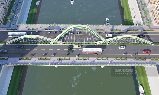
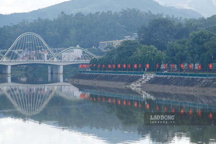
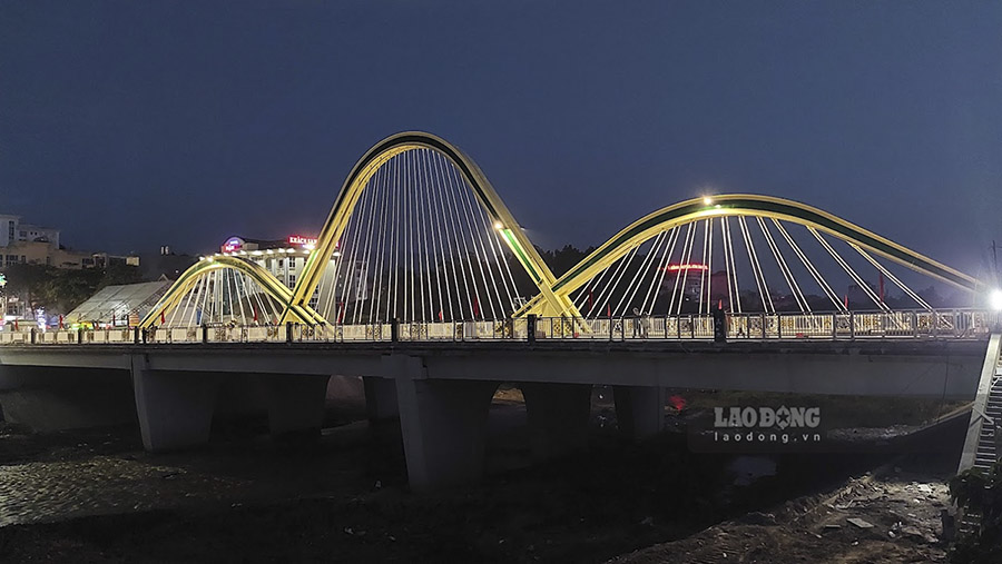
New bridges are being built one after another, including Thanh Binh bridge, creating more connecting routes between urban areas. The bridge not only helps people travel conveniently but also expands the city's development space.
Looking down from the bridge, the river still gently flows in the heart of the city. But above the water surface is a completely different rhythm of life: vehicles passing by, the city expanding, new buildings forming one after another.
The change of Nam Rom is also a miniature image of Dien Bien's development process.
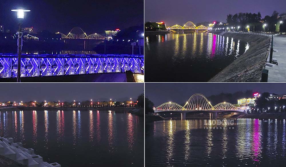
Today's bridges not only connect the two banks of the river but also connect historical milestones. At the foot of the bridge is the river that witnessed war; on the bridge is the rhythm of life of a city heading towards the future.
What is precious is that in the process of modernization, Nam Rom still maintains a special position in the memory and life of Dien Bien people.
The river once named "cay lat river", once a trade route, witnessed historical battles, and now continues to witness new changes in this land.
In the future, Dien Bien may have more bridges, more roads and more modern works.
But Nam Rom will still quietly flow through the Muong Thanh field - as a witness to time, carrying a story about history, people and a Dien Bien that is changing day by day.