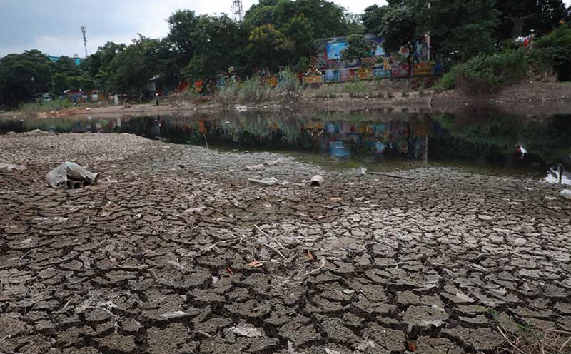
On the morning of September 26, many passersby were surprised to see many sections of To Lich River with exposed bottoms or very low water levels. Mr. Huu Cong (Cau Giay, Hanoi) said that since around 6am this morning, he went to work along Quan Hoa Street and saw the river water at such a low level.
"The Quan Hoa section seems to be the lowest, some sections below may be low so they are higher. I don't know why that is. But fortunately, the receding water did not cause as much stench as before," Mr. Cong shared.
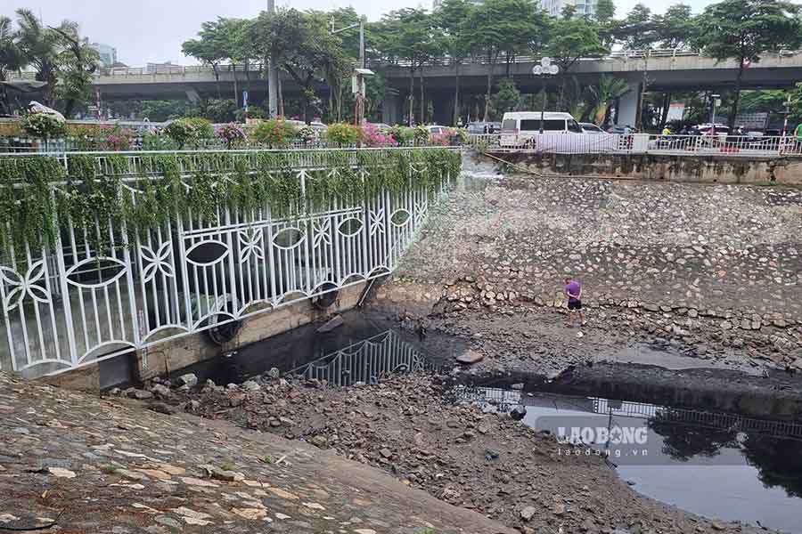
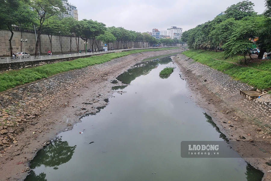
According to the reporter, the To Lich River section passing through Quan Hoa, Buoi, Lang is low, with almost no flow. Some points only have small puddles of water.
Talking to Lao Dong newspaper reporters about the above situation, Mr. Bui Ngoc Uyen - Deputy Head of External Affairs and Communications Department, Hanoi Drainage One Member Co., Ltd. said that the water level of To Lich River was reduced to a low level as part of the plan to prevent and respond to storm No. 9 Ragasa.
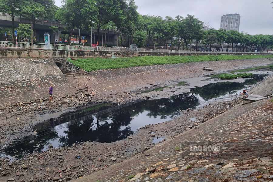
"According to the plan, during stormy days, the amount of rain will likely be very large, the first priority is to prevent flooding. The amount of water in rivers, lakes, ponds, and culverts must be reduced to low levels. Recently, the Quang bridge dam opened the spillway, draining the To Lich river to receive the rain. The decrease in the water level of To Lich River is also related to the water level of West Lake.
When it rains heavily, the water level of West Lake rises, at this time the water will be discharged into To Lich River to balance", Mr. Bui Ngoc Uyen shared.
According to Mr. Uyen, this morning, the Quang bridge dam has closed its spillway. It is expected that by noon today, water from West Lake will flow into the To Lich River. However, the amount of water will not be much as we continue to implement the plan to prevent and respond to storm No. 10.

The latest update from the National Center for Hydro-Meteorological Forecasting, at 7:00 a.m. on September 26, the center of storm Bualoi was at about 12.2 degrees north latitude; 123.3 degrees east longitude, in the central Philippines. The strongest wind near the storm center is level 11 (103-117 km/h), gusting to level 14. The storm is moving west-northwest at a speed of about 30 km/h.
It is forecasted that in the next 24 hours, the storm will move west-northwest at a speed of 30-35 km/h, moving into the East Sea and tending to strengthen.
At 7:00 a.m. on September 27, the center of the storm was at about 14.5 degrees north latitude; 116.6 degrees east longitude, strong intensity level 11-12, gust level 15.