
Hon Hai Island is a special rocky island, shaped from afar like a comet, located in the sea area of Phu Quy special zone (Lam Dong province). Hon Hai is about 60km southeast of Phu Quy Island.
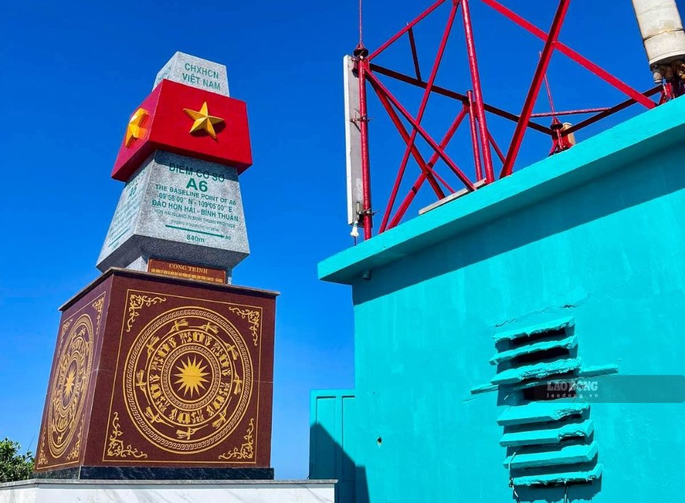
This is also the A6 point on the baseline used to calculate Vietnam's territorial waters. The island is about 130m long, the widest part is about 60m and the highest point is 113m above sea level.
With harsh weather conditions, especially strong waves around the island, workers of Hon Hai Lighthouse Station were replaced after 4 months. However, setting foot on Hon Hai is not simple.
Mr. Tran Cong Dinh, Head of Hon Hai Lighthouse Management Station, said that the lives of officials and workers on the island have very unique characteristics. Essential goods from food and fresh water to work supplies are supplied by ships.
However, whether the ship can dock on the island or not depends on the weather. Only when the sea is calm and the wind is level 2 or 3 can the ship dock at the wharf. And when the wind is strong and the waves are high, the supply is interrupted.
Food and foodstuffs are packed tightly in plastic barrels and then pulled from ships to the island by ropes. Workers going up or leaving the island must use basket boats, measuring each wave to dock. There are many ships going to Hon Hai to supply food, replace people and bring out the working delegation, but they have to return due to bad weather, so they cannot dock at the wharf.
At times of rough seas, brothers have to cling to ropes and swim from the island to the ship or vice versa. If the waves and winds are too big, there is no option to bring people or goods to the island, everyone can only proactively hold on until the weather is favorable," Station Chief Hon Hai shared.
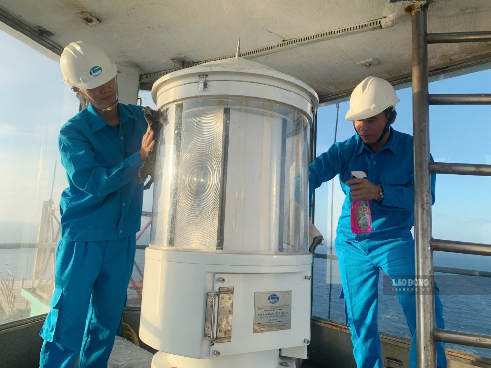
In the midst of sun, wind, salt vapor and high humidity, equipment often degrades. However, 5 officials and workers at the station still maintain a duty regime, operating and maintaining the traffic light system 24/24h.
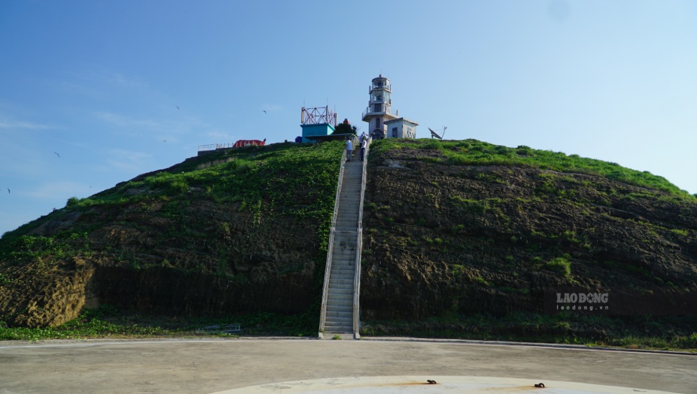
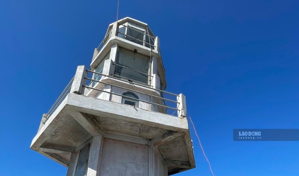
The lighthouse on Hon Hai is one of the lighthouses that plays an important role in the maritime safety assurance system in the South Central Coast region.
This is a 10.4m high lighthouse, located at the highest point of the island, helping ships at sea determine position and direction, especially when the weather is bad or visibility is limited.
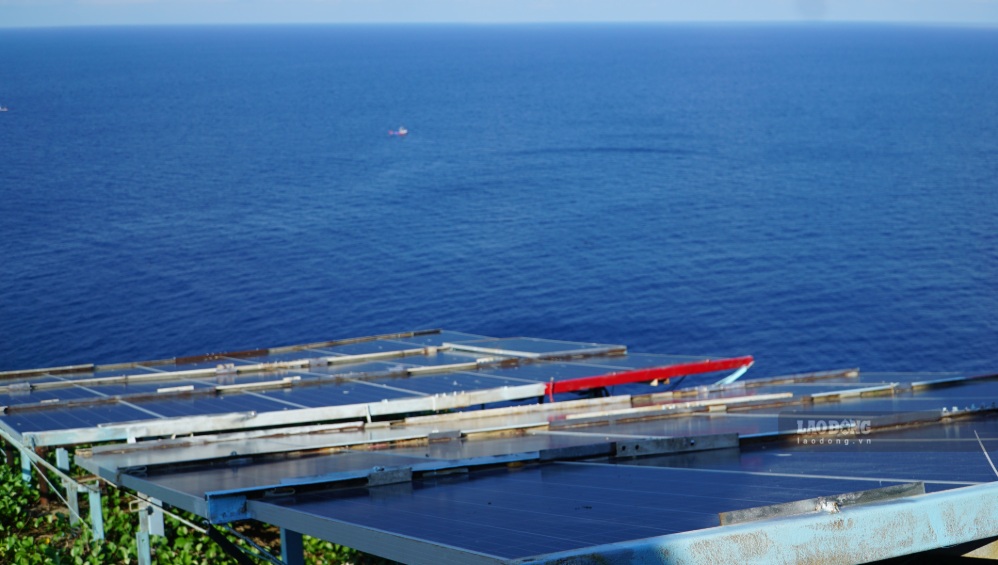
Not only of maritime significance, Hon Hai is also an A6 point on the baseline used to calculate the width of Vietnam's territorial waters. Maintaining the operation of the lighthouse contributes to ensuring safety for ships and boats, while also showing the presence and management of the State over maritime works at sea.
To complete the task, workers at Hon Hai are trained in labor safety, disaster prevention and emergency handling. Work plans are also adjusted according to weather developments.
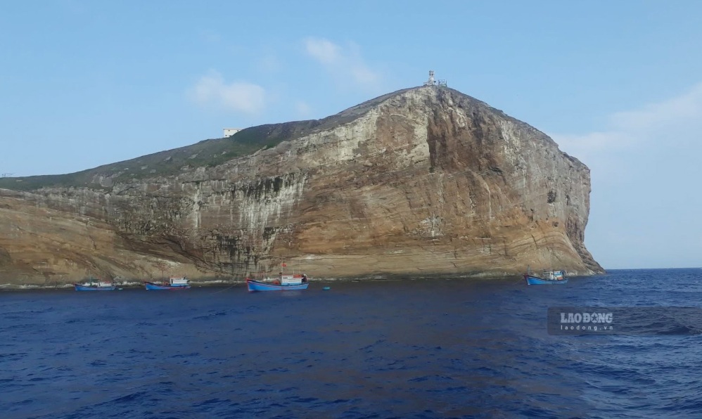
Amidst the vast ocean, light from Hon Hai still regularly emits every night. Behind that lamp are people silently clinging to the waves, accepting being far from the mainland and facing many deprivations to keep the "sea eye" from turning off. For them, each night when the lights are on is also another journey to be safely guided at sea.


