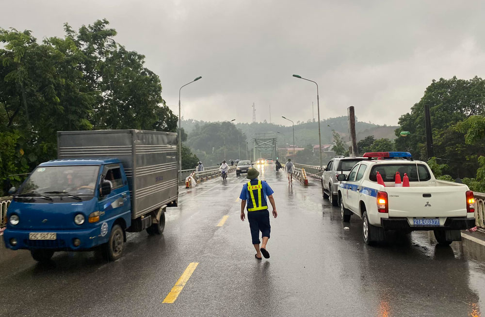
The Department of Transport of Yen Bai province has just issued a notice prohibiting all people and vehicles from traveling through Yen Bai bridge, route Km280+500, National Highway 37 from 6:00 p.m. on September 9 until further notice from competent authorities (except for forces participating in traffic safety, rescue and relief).
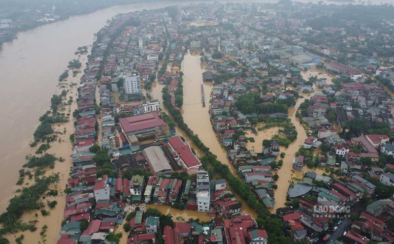
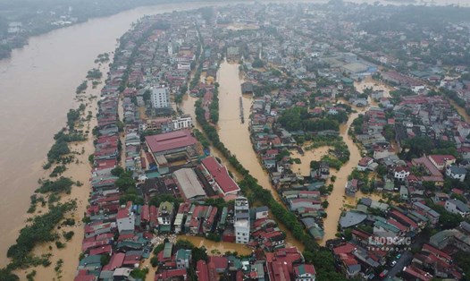
Currently, the water level of the Red River flowing through Yen Bai bridge, Km280+500, is close to the bridge inspection vehicle (below the bridge's steel truss system).
During the Yen Bai bridge closure, vehicles moving in and out of the western districts of Yen Bai province and the western wards of the city must pass through Tuan Quan, Bach Lam, Gioi Phien bridges or Van Phu bridges.

According to the Department of Transport of Yen Bai province, prolonged heavy rains have caused flooding in many areas, affecting transport infrastructure and directly affecting people's lives. Major roads leading to districts and towns have suffered serious landslides.
In particular, many roads in Yen Bai city have been completely cut off, causing great difficulties for rescue work as well as the supply of goods and necessities.
Faced with this situation, the Department of Transport of Yen Bai province has coordinated with relevant units to mobilize available forces and means to ensure traffic safety and overcome landslides and congestion.
Red River flood in Yen Bai exceeds peak, equivalent to 2008
Floods on the Thao River (Red River) in Yen Bai have quickly exceeded the peak of alert level 3 at 2.13m, much earlier than the forecast in the bulletin at 1pm on September 9, which would peak at 34.10m. This flood level is equivalent to that of 2008.
According to forecasts, the flood will soon exceed its peak, making the flooding situation in Yen Bai city and other localities more serious.
Flood disaster risk warning level: Level 3.